
Canterbury - Latest Imagery Extents
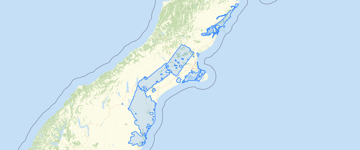
Request AccessCanterbury - Latest Imagery Extents - Visible boundaries of each aerial imagery collection contained in the latest aerial imagery base map.
Metadata
| Date | 30/07/2020 |
| License | CC BY 3.0 |
Sample Properties
- {} 24 keys▶
- 1389
- "AAM 11317B Kurow"
- "2017-02-14T00:00:00.000Z"
- "Unknown"
- "NZTM"
- "Unknown"
- "+/-0.2"
- "Unknown"
- "Environment Canterbury Regional Council"
- "https://creativecommons.org/licenses/by/3.0/nz/"
- "Freely available work must be attributed for use"
- 10928.673357001539
- 7061628.415692215
- ""
- ""
- ""
- "1970-01-01T00:00:00.000Z"
- ""
- "1970-01-01T00:00:00.000Z"
- ""
- ""
- ""
- ""
- ""