
Marlborough - MEP - Freshwater Management Unit - Map 1
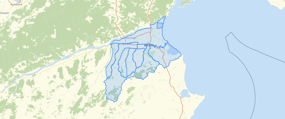
Request AccessMarlborough - MEP - Freshwater Management Unit - Map 1 - This dataset is part of the proposed Marlborough Environment Plan, as amended by decisions. Depicts the Freshwater Management Units used for managing water allocation and use. This layer related to Map 1. For more information, check the Marlborough Environment Plan website. Symbology settings for display in GIS applications: Label = 'Rarangi Shallow' Fill : Line Fill, Angle 135, seperation 8, colour RGB 0,0,0, width 0.5 Outline: RGB 255,0,0, width 2. All others Fill : None Outline: RGB 255,0,0, width 2.
Metadata
| Date | 18/03/2020 |
| License | CC BY 4.0 |
Sample Properties
- {} 4 keys▶
- 17
- "Omaka Aquifer"
- 44434481.05841438
- 38905.26537535656