
Canterbury - RCEP - Mooring Areas
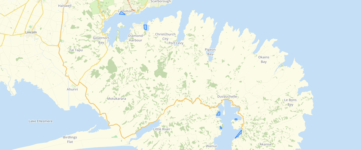
Request AccessCanterbury - RCEP - Mooring Areas - Swing mooring areas and boat shed areas identified within the Canterbury Regional Coastal Environment Plan (RCEP) 2005. These areas are as shown in Map Series 3 of the RCEP maps. Swing Mooring Area means an area defined as a Swing Mooring Area by Schedule 5 (Definitions of Areas and Sites) of the RCEP. The Swing Mooring Areas contain large numbers of swing moorings, and are shown on the Planning Maps in Volume 2. The areas are located at Cass Bay, Corsair Bay and Purau Bay in Lyttelton Harbour /Whakaraupo and at Akaroa, Takamatua Bay, French Farm Bay and Tikao Bay in Akaroa Harbour. Boatshed Area means an area defined as a Boatshed Area by Schedule 5 (Definitions of Areas and Sites) of the RCEP. These areas are only defined for parts of Lyttelton and Akaroa Harbours and are areas that already have significant numbers of established boatsheds.
Metadata
| Date | 27/03/2017 |
| License | CC BY 3.0 |
Sample Properties
- {} 16 keys▶
- 1
- "MOORING"
- "Mooring Area"
- "Cass and Corsair Bays"
- "3.1"
- 2830.33170963
- 274808.38720703
- 27.481
- "UNKNWN"
- 0
- "GIS Admin"
- "2005-04-20T00:00:00.000Z"
- "GIS Admin"
- "2014-09-15T00:00:00.000Z"
- 274808.38720703125
- 2830.3317096311866