
Canterbury - Eastern Canterbury liquefaction susceptibility line 2012
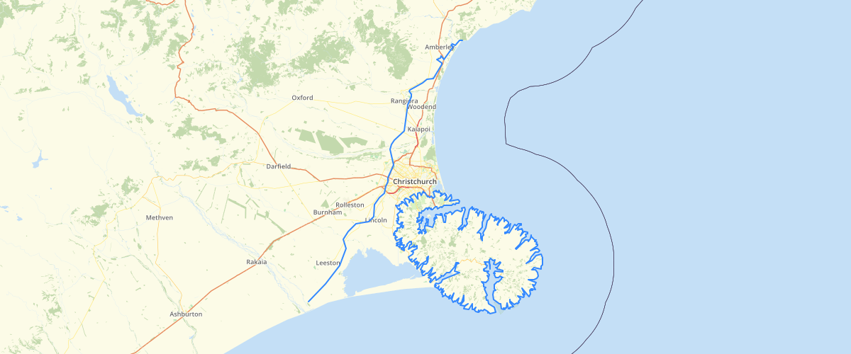
Request AccessCanterbury - Eastern Canterbury liquefaction susceptibility line 2012 - This dataset is the boundary between liquefaction zones as defined inFigure 2.1 ofBrackley (comp), 2012, Review of liquefaction hazard information in eastern Canterbury, including Christchurch City and parts of Selwyn, Waimakariri and Hurunui Districts,Environment Canterbury report R12/83. There are two zones: Damaging Liquefaction Unlikely and Liquefaction Assessment Needed. The zones exclude those areas already classified into Technical Categories by the Department of Building and Housing (now Ministry of Business, Innovation and Employment).The zones are primarily for use by territorial authorities to help them decide whether a separate geotechnical assessment relating to liquefaction will be needed for development, and for subdivision and building permits to be granted.
Metadata
| Date | 27/03/2017 |
| License | CC BY 3.0 |
Sample Properties
- {} 3 keys▶
- 1
- 110889.38260186
- 110889.38260185525