
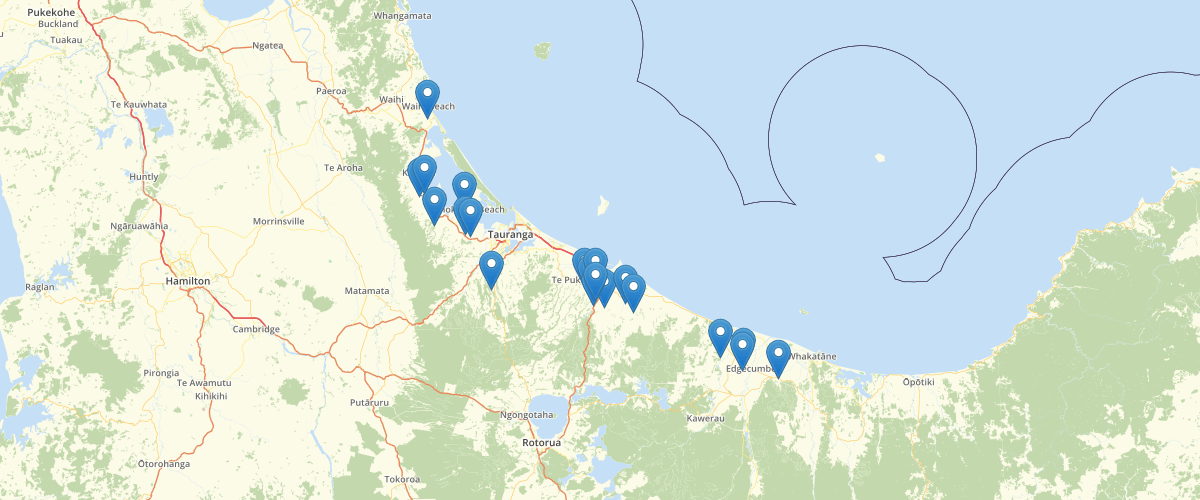
BoP Current Consents
Request AccessShows the location of current Bay of Plenty Regional Council (BOPRC) Consents. The point data shows the location of the consented activities. Please note: This is a very large data set and it is advisable to zoom the location you are interested in and then use the filtered data set function. For more information about what activities require a resource consent with BOPRC, please visit http://www.boprc.govt.nz/environment/resource-consents/activities-requiring-resource-consent/
Metadata
| Provider | Bay of Plenty Regional Council Toi Moana |
Sample Properties
- {} 20 keys▶
- 36066226
- 5786678
- 1942982
- "Po Box 236 , Whakatane 3158"
- "Bf Perry"
- "Whakatane and Tauranga"
- "1987-09-03T00:00:00.000Z"
- "Other Catchment Generals"
- "2016-09-09T00:00:00.000Z"
- "22030"
- "Water"
- "Discharge"
- "22030.0.01-DC"
- "POINT"
- 2318
- "2026-10-01T00:00:00.000Z"
- "DISCHARGE DRAINAGE WATER FROM A PUMPING STATION ON THE GRANTEE’S PROPERTY INTO AN EXISTING DRAIN AND THENCE INTO THE OTARERE DRAIN"
- "WHITE PINE BUSH ROAD A WAKERI"
- "Current"
- 36066226