
Hawkes Bay Parcel and LUC Class - Hawkes Bay Regional Council
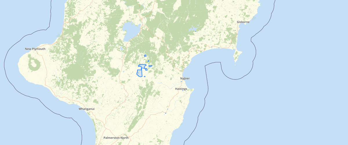
Request AccessThis dataset was created for use in the Land Use Capability tool. Each parcel polygon (white lines) contains a breakdown of LUC classes and hectares for each. LUC classes are summarised and includes classes from 1-8. Land Use Capability Classification is a system in use in New Zealand since the 1950's to try and achieve sustainable land development and management on farms. The system classifies all of New Zealand’s rural land into one of eight classes, based on its physical characteristics and attributes. Class 1 land is the most versatile and can be used for a wide range of land uses. Class 8 land has a lot of physical limitations, it may be extremely steep, and not generally suitable for arable, pastoral or commercial forestry use.
Metadata
| Date | January 29, 2020 |
| License | No License Provided |
Sample Properties
- {} 17 keys▶
- 3883052
- "Owhaoko C6 Block"
- ""
- ""
- ""
- ""
- ""
- ""
- ""
- ""
- ""
- ""
- 784.637687167782
- 14951.079565021011
- 7846376.835219212
- ""
- 192345