
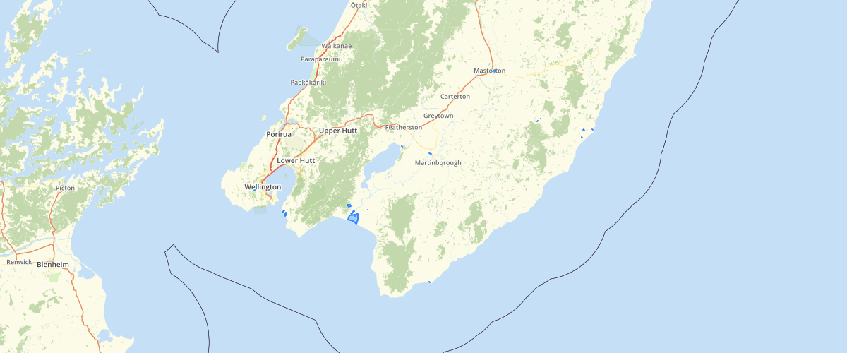
All Lakes NZ
Request AccessShorelines of all lakes in New Zealand >1 ha. Lakes are identified by their 'FENZ ID' number. The FENZ Geodatabase is a set of spatial data layers and supporting information that describes environmental and biological patterns in New Zealand’s freshwater ecosystems, with separate sets of data for rivers and streams, lakes, and wetlands. It was designed as a resource that provides consistent information about those ecosystems, including their geographical locations, their physical and biological attributes, and their current conditions.
Metadata
| Data use limits | All maps or reports that are derived from the data or information must acknowledge the Crown copyright, in the following way: Crown Copyright: Department of Conservation Te Papa Atawhai [year]. |
| Date | 01/01/2010 |
| License | CC BY 3.0 NZ |
| Originator | FENZ - Department of Conservation, NIWA, Landcare Research |
| Provider | Department of Conservation |
Sample Properties
- {} 41 keys▶
- 1
- 1
- "A"
- "A.1"
- "A.1.1"
- "A.1.1.1"
- "A.1.1.1.1"
- "A.1"
- "A.1.1"
- "A.1.1.1"
- "A.1.1.1.1"
- 7.69577
- 6223840
- 17.18
- 2326.53
- 3657
- 6.06
- 14.6
- 0
- 2.6
- 7.19716e-9
- 1.77
- 9.79
- 11.29
- 0
- 2.01501
- 0.49
- 60.61
- "Manawatu-Wairarapa"
- "Southern North Island Province"
- "Wellington RC"
- 622.384
- 13414.8
- 15965800
- 0.18
- 5.90507
- "Shoreline"
- 13414.323227
- 6223424.46815
- "K"
- "Lake Onoke"