
Waikato Healthy Rivers Monitoring Nodes - Waikato Regional Council
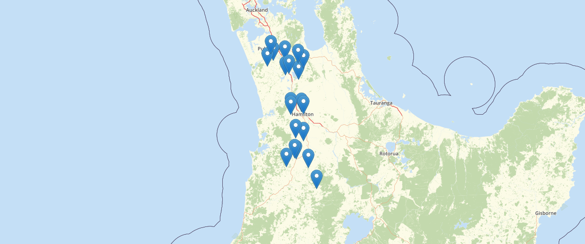
Request AccessCatchment monitoring points (outflow point for the catchments) used for Healthy Rivers - Plan Change 1 mapping and analysis. Project branded as Healthy Rivers: Plan for Change / Wai Ora: He Rautaki Whakapaipai. See metadata for feature HEALTHY_RIV_MONITORING_NODE in Healthy Rivers - Plan Change 1 - GIS
Metadata
| Date | 3/9/2020 |
| License | CC BY 4.0 |
Sample Properties
- {} 6 keys▶
- "Waiterimu Road Below Confluence"
- "EW-0516-005"
- 1798000
- 5849274
- "S13:083-109 Waiterimu Road Below Confluence Beside Recorder Site"
- 32