
Southland - Winter Forage 2017
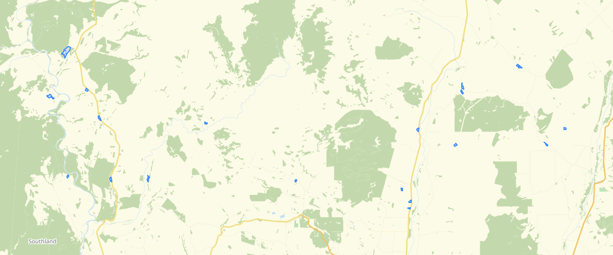
Request AccessSouthland - Winter Forage 2017 - How this dataset was created A. A series of 31 satellite images was acquired between February and October 2017. These were from Sentinel-2A and -2B and Landsat-8. Each image was cloud-masked and then classified separately into land cover classes. B. A rule-set was used to draw together evidence from the time-series of 31 per-pixel land cover classifications into a single per-pixel land use map representing winter 2017.The term ‘land use’ pertains primarily to the agricultural classes that are the main focus of this work. The map also includes classes outside the agricultural area which are not formally land use classes, but are simply the dominant land cover class at that pixel through time. The classes are: Agricultural classes – winter forage WF kale WF other brassica and swede WF fodder beet WF cereal Unknown/other winter grazing – Intensive winter grazing on pasture or other unidentified winter crop Agricultural classes – non-forage Agricultural bare soil – Bare for an extended period April to July Crop residue, dead vegetation – Crop residue or dead vegetation for an extended period April to July Autumn-planted crop or pasture – Includes arable crops and pasture renewal Pasture – improved Pasture – unimproved/poor quality/low cover – Generally grazed, though there is a meeting point between this class and the non-agricultural (mostly ungrazed) class that includes tussockland. Unknown agriculture – Including mixed classes, scrubby pasture, narrow shelterbelts within a pasture/crop pixel Non-agricultural classes Forest and scrub – Both native and exotic, including forestry Tussockland, herbfield, alpine shrubland – Essentially ungrazed, though there is a meeting point between this class and the agricultural unimproved pasture class. Water – Lakes, rivers, estuaries Snow, ice Rock, scree, gravel, sand Hill country/non-agricultural bare soil – For example, land slips. Can be an overlap with the rock/gravel class in silty scree margins Deep shadow – Insufficient reflection of light to determine land cover class – generally in steep areas Urban, industrial C. A GIS-format paddock boundary map (polygons) was derived from a selected subset of the time-series satellite images. The paddock boundary map covers only those areas considered to be ‘agricultural’ (rather than the whole Southland region, which also includes large alpine and forested areas). This polygon layer was imposed on the per-pixel land use map described in B above. A rule set was used to decide on a final land use classification for each paddock polygon, based on the land use classes of the set of pixels within it. The final output uses the same set of classes as listed in B. Created for Environment Southland by Landcare Research - Heather North, Stella Bellis & David Pairman, May 2018
Metadata
| Date | 31/08/2020 |
| License | Environment Southland uses reasonable endeavours but does not warrant that this information is current, complete or accurate. Professional or specialist advice should be obtained before taking or refraining from taking any action on the basis of this information. To the extent permitted by law, Environment Southland will not be liable for any loss, liability or costs suffered or incurred as a result of any reliance placed on this information. |
Sample Properties
- {} 7 keys▶
- 3
- 144
- 0
- 9
- "Pasture - unimproved or low-cover"
- 39527.7919921875
- 907.3839211337058