
Canterbury - Flood protection vegetation boundary
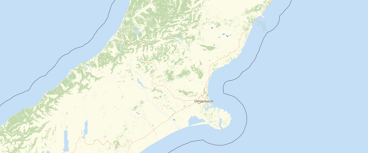
Request AccessFlood protection vegetation boundary (Flood Protection and Drainage Bylaw 2013 - amended 2019) - This layer was amended in January 2019. A draft boundary line shows areas of vegetation retained under the Soil Conservation and Rivers Control Act (1941). A desired boundaryline showsareas where it would be beneficial to increase the vegetated buffer width to the land side so that a consistent protective buffer can be achieved. In some cases, on the river side, the actual buffer width will depend on whether or not the vegetated buffer can be made to fill the area to the desired fairway edge in a reasonable time or not. On the landward side, any areas for new planting will need to be agreed with the landowner (and in general terms at least by the rating district).
Metadata
| Date | 10/06/2019 |
| License | CC BY 3.0 |
Sample Properties
- {} 10 keys▶
- 1
- "Final"
- 2110.93165572
- "MANCAP"
- 2
- "MatthewS"
- "2012-03-09T00:00:00.000Z"
- "HamishL"
- "2012-03-09T00:00:00.000Z"
- 2110.931655727837