
Canterbury - LiDAR Collection Extents
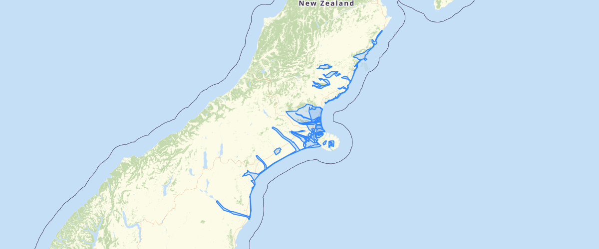
Request AccessCanterbury - LiDAR Collection Extents - Known LiDAR collection extents in Canterbury. Ownership and licensing for each collection is given in the Owner, License and License Description attribute fields.
Metadata
| Date | 15/09/2020 |
| License | CC BY 3.0 |
Sample Properties
- {} 31 keys▶
- 877
- "AAM_11261A01NOP_Ellesmere_2008"
- "Unknown"
- "NZMG"
- "Lyttelton 1937"
- "+/-0.45m"
- "+/-0.15m"
- "AAM"
- "https://creativecommons.org/licenses/by/4.0/"
- "Freely available work must be attributed for use"
- ""
- "13"
- "1970-01-01T00:00:00.000Z"
- "1970-01-01T00:00:00.000Z"
- "2014-02-04T00:00:00.000Z"
- ""
- ""
- ""
- "1970-01-01T00:00:00.000Z"
- ""
- "1970-01-01T00:00:00.000Z"
- 280853.94578537
- 390671701.0192169
- 39067.17010192
- "Currently not available for online download, please email [email protected] for assistance"
- "Currently not available for online download, please email [email protected] for assistance"
- 280853.94578536885
- 390671701.0192169
- "2008"
- "6/02/2008"
- "AAM NZ Limited"