
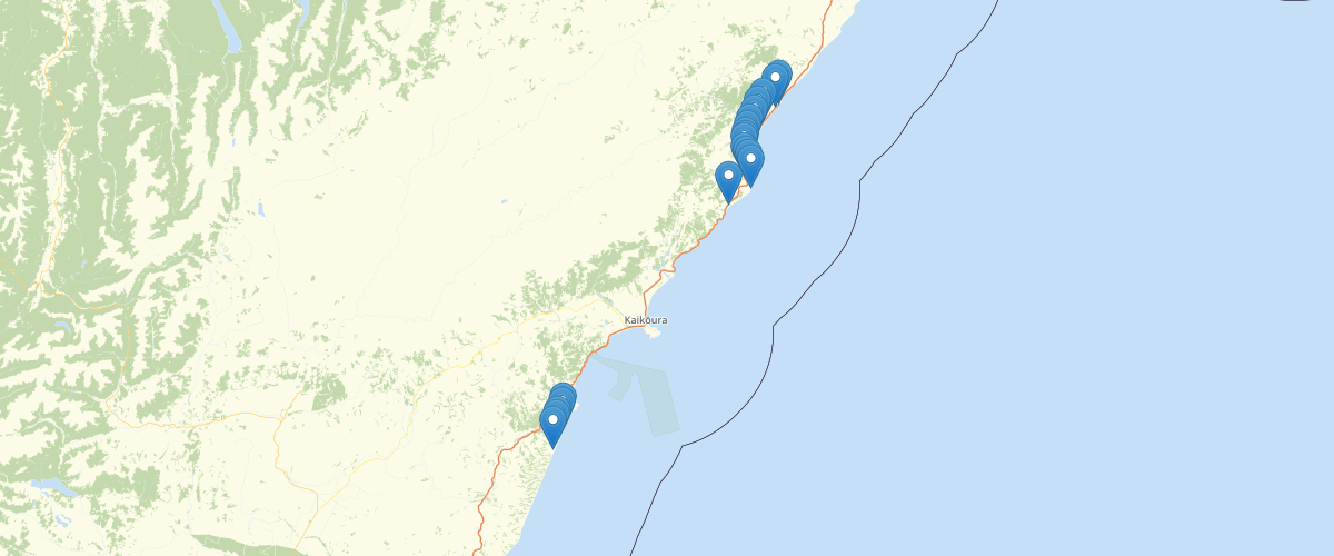
Canterbury - RCEP - Erosion Determination Points
Request AccessCanterbury - RCEP - Erosion Determination Points - These points are used to determine the width of Hazard Zones by interpolating the rate of shoreline retreat between the fixed determination points. For all determination points, except for some special situations listed below, there was no evidence of a change in the long-term rate of shoreline retreat. Therefore, the longest term historical erosion rates have been used. These will include short term fluctuations. Special situations where these factors do not apply: (i) Washdyke-Seadown coast and Waimataitai area; (ii) South Brighton Spit; (iii) Motunau; (iv) Cliffed coastline in North Canterbury- Waipara to Haumari Bluffs; (v) Sections of the Kaikoura coast bordered by the main road or railway.
Metadata
| Date | 27/03/2017 |
| License | CC BY 3.0 |
Sample Properties
- {} 2 keys▶
- 1
- "Kekerenga River P30:936-107"