
Canterbury - Ostler Fault Zone Ground Deformation 2010
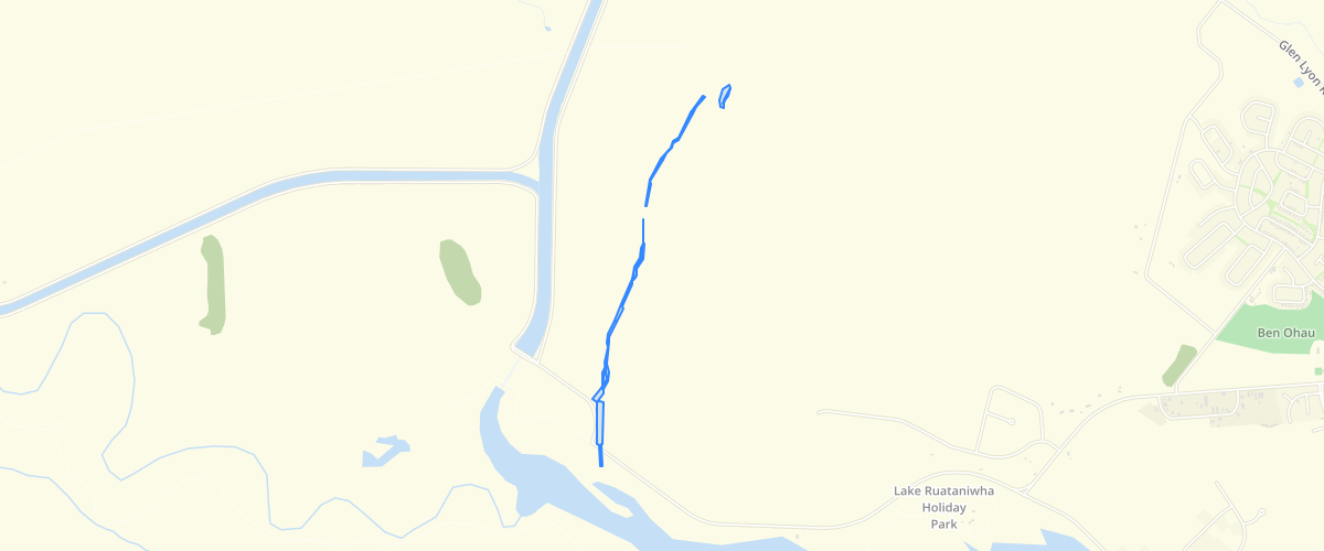
Request AccessCanterbury - Ostler Fault Zone Ground Deformation 2010 - Interpretation of the extent and nature of pre-existing fault-related ground deformation associated with the Ostler Fault Zone near Twizel (east of the Pukaki Canal), and adjacent areas that show no indication of deformation. The southern part of the dataset ('Ruataniwha') was mapped with hand held and differential GPS in 2005, the northern part of the dataset ('Twizel') was mapped using aerial photos in 2010.Accompanying report is Barrell, D.J.A., 2010, Assessment of active fault and fold hazards in the Twizel area, Mackenzie District, South Canterbury. GNS Science Consultancy Report 2010/040. Environment Canterbury report R10/25 (Figure 2).
Metadata
| Date | 11/09/2018 |
| License | CC BY 3.0 |
Sample Properties
- {} 17 keys▶
- 1
- 0
- 0
- "surveyed"
- "sharp fault"
- "2005_Ruataniwha"
- "MANCAP"
- 2
- "GNS Science"
- "2010-01-01T00:00:00.000Z"
- "GNS Science"
- "2010-01-01T00:00:00.000Z"
- 280.04120683
- 1694.74132326
- 0.16947413
- 280.04120683098733
- 1694.7413232571146