
Canterbury - Surface Water Dam Active - Consented Activities
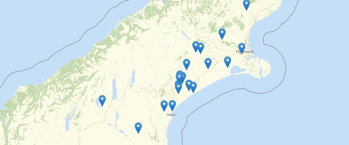
Request AccessCanterbury - Surface Water Dam Active - Consented Activities - Records showing a summary of a current consented activity related to damming surface water as recorded within Environment Canterbury's Resource Management Act Database. This layer contains dam features that are represented as points. Depending on the nature and conditions of the consent, more than location point may be associated with a single consent. The feature type property indicates the nature of the recorded activity. The layer includes details on: The type of permit (land use consent, discharge permit, etc.), the section of the RMA underwhich the activity was permitted, the current status of the permit (active, in process, etc.), the name of the applicant, a description of the location where the activity related to the permit is undertaken, and if the permit was successfully issued, the period over which the permiitted activities apply. Activity specific details related to the water use, dam volume and source of water related to the consent are also included if relavent. The layer also contains several sumary fields related to spatially defined regions the location lies with including: which territorial local authority(s); the Land and Water Regional Plan groundwater & surface water allocation zones and nutrient management zone; the Canterbury Water Management Strategy (CWMS) zone; the Ngai Tahu Runanga area of interest for Resource Consenting purposes; and the clean air zone.
Metadata
| Date | 10/10/2020 |
| License | CC BY 3.0 |
Sample Properties
- {} 42 keys▶
- "CRC072125"
- "Water Permit (s14)"
- "New Consent"
- "Issued - Active"
- "RMA Authorisation"
- "Water Dam"
- ""
- "Dam Surface Water"
- "CO6C/22013"
- "Evan Keith Chisnall"
- "EC157562"
- "Hinds Arundel Road & Maronan Ealing Road, ASHBURTON"
- "2007-03-06T00:00:00.000Z"
- "Commencement Date"
- "2042-03-02T00:00:00.000Z"
- "Expiry Date"
- "2012-03-31T00:00:00.000Z"
- "2007-04-01T00:00:00.000Z"
- "2042-03-02T00:00:00.000Z"
- "Irrigation"
- "Out-of-stream"
- 60000
- "Water Race"
- "Ashburton District"
- "6920100 - Ruapuna Plains Area"
- "Ashburton"
- "Arowhenua"
- "Mayfield-Hinds"
- "Ruapuna Plains Area"
- "Water Quality Outcomes Not Met"
- "Valetta - Hinds - Mayfield/Hinds"
- ""
- "1474463"
- "5127419"
- "BY20:7446-2741"
- "Unknown"
- ""
- ""
- "10CAP-00000-015YA"
- "http://ecan.govt.nz/data/consent-search/consentdetails/CRC072125"
- 88671
- 11918