
DOC Recommended Areas for Protection RAP's
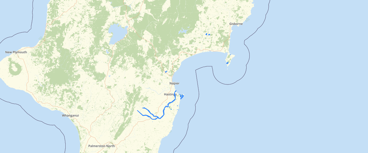
Request AccessThe Protected Natural Areas Programme (PNAP) was led by the Department of Conservation from 1980s to early 2000s, with the primary intention to identify and protect representative examples of the full range of indigenous biodiversity in NZ. Those ‘representative examples’ are called Recommended Areas for Protection (RAPs). A survey framework was established by dividing NZ into 268 ecological districts. A few ecological districts intersect with the Hawke’s Bay region, which includes Tiniroto, Waihua, Mahia, Matawai, Waikaremoana, Kaimanawa, Maungaharuru, Moawhango, Ruahine, Heretaunga, and Eastern Hawke’s Bay ecological districts. PNAP survey reports for each of these ecological districts were generated by DoC in 1990s and early 2000s. This shapefile contains RAPs of Tiniroto/Waihua/Mahia/Matawai (Whaly et al, 2001), Maungaharuru (Townsend, 1996), Moawhango Rogers, 1993) Heretaunga (Lee, 1994), and Eastern Hawke’s Bay (Maxwell et al, 1993) ecological districts, and those that fall within the Hawke’s Bay regional boundaries.
Metadata
| Date | January 29, 2020 |
| License | No License Provided |
Sample Properties
- {} 8 keys▶
- 1
- 779.11730531
- "1"
- "Eastern Hawkes Bay"
- "34.01"
- 7791173.056640625
- 13801.941281843401
- "Summerlee"