
Hawkes Bay Well Permits - Hawkes Bay Regional Council
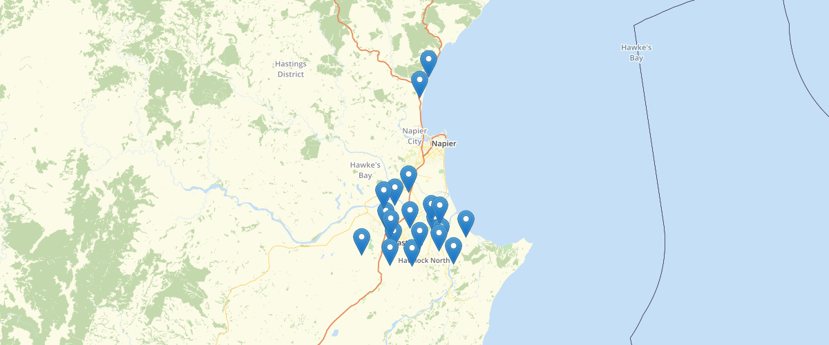
Request AccessShows the general location of known wells and bores in the Hawke’s Bay Region. Data is usually obtained where a consent has been granted and the bore construction proceeded (Current Bore Permits). As part of the consent process drillers return the data to Hawke’s Bay Regional Council. Each point contains basic summary information about the well or bore including identifier, diameter, drill date, depth and the location of the top and bottom of the screen.
Metadata
| Date | January 29, 2020 |
| License | No License Provided |
Sample Properties
- {} 23 keys▶
- 1927601.923
- 5603599.433
- 1080
- 48.77
- 100
- "26/01/1981"
- "Honnor Drilling Limited"
- 48.16
- 0
- 1080
- ""
- ""
- ""
- "Flowing confined"
- ""
- 2.44
- ""
- "Unknown"
- ""
- 100
- "SOUTHLAND RD (L/C)"
- ""
- 1080