
Canterbury - RCEP - Sea Water Inundation Zone Boundary
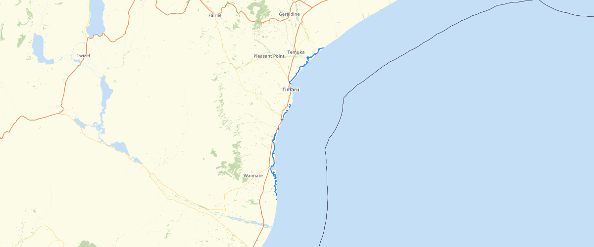
Request AccessCanterbury - RCEP - Sea Water Inundation Zone Boundary - Sea water inundation is defined as the movement of sea water onto the hinterland behind the beach system. Sea water inundations are mainly confined to South Canterbury where approximately 1,000 hectares of land in the Waihao-Wainono, Hook-Makikihi and Washdyke-Seadown-Milford areas have been historically affected. Along the remainder of the region’s coast, sea water inundation problems have been reported at Rakaia-Taumutu, Leithfield, Amberley, and along sections of the Kaikoura Coast.
Metadata
| Date | 27/03/2017 |
| License | CC BY 3.0 |
Sample Properties
- {} 3 keys▶
- 1
- "Morven"
- 350.42930717