
River polygons topo 1250k NZ
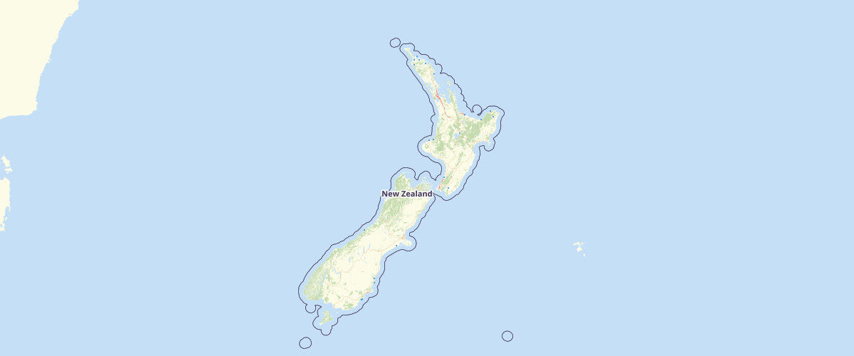
Request AccessThis layer is a component of the Topo250 map series. The Topo250 map series provides topographic mapping for the New Zealand mainland, Chatham and New Zealand's offshore islands, at 1:250,000 scale.
Metadata
| Originator | LINZ |
| Provider | LINZ |
Sample Properties
- {} 2 keys▶
- 5773591
- 5773591