
Marlborough - MEP - Indicative River Bed Polygon
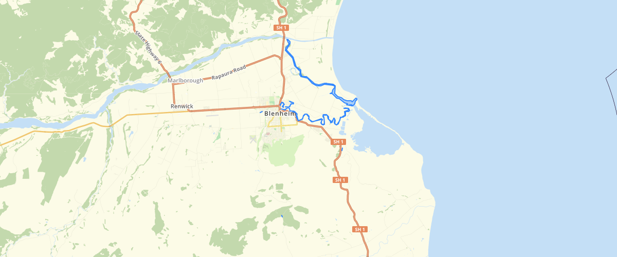
Request AccessMarlborough - MEP - Indicative River Bed Polygon - Indicative river bed polygon as defined in the MEP Zone layers, as amended by decisions. Should be used in conjunction with the Marlborough Environment Plan Zoning layer. For more information, check the Marlborough Environment Plan website.
Metadata
| Date | 03/11/2020 |
| License | CC BY 4.0 |
Sample Properties
- {} 4 keys▶
- 3103
- "Floodway"
- 17780.801917025
- 1546.6550093475855