
Waikato Biodiversity Vegetation 2007 - Waikato Regional Council
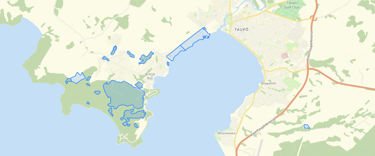
Request AccessTerrestrial vegetation, sand dunes and wetlands over 0.5ha mapped off WRAPS 2007 orthophotography using a slightly simplified version of the LCDB (1 and 2) classifications. See metadata for feature BIODIVERSITY_VEGETATION_2007 in Biodiversity Vegetation (BIOVEG) 2007 - GIS Layer
Metadata
| Date | 3/9/2020 |
| License | CC BY 4.0 |
Sample Properties
- {} 24 keys▶
- "Gorse and Broom"
- "Predominantly Exotic"
- ""
- ""
- ""
- ""
- ""
- ""
- ""
- ""
- ""
- ""
- ""
- 0
- 0
- ""
- ""
- 0
- 0
- "Taupo"
- "http://data.waikatoregion.govt.nz:8080/ords/f?p=140:12:0::NO::P12_METADATA_ID:867"
- 55773
- 1
- "Shrubland"