
Wellington Regional Council Wellington Region Combined Earthquake Risk
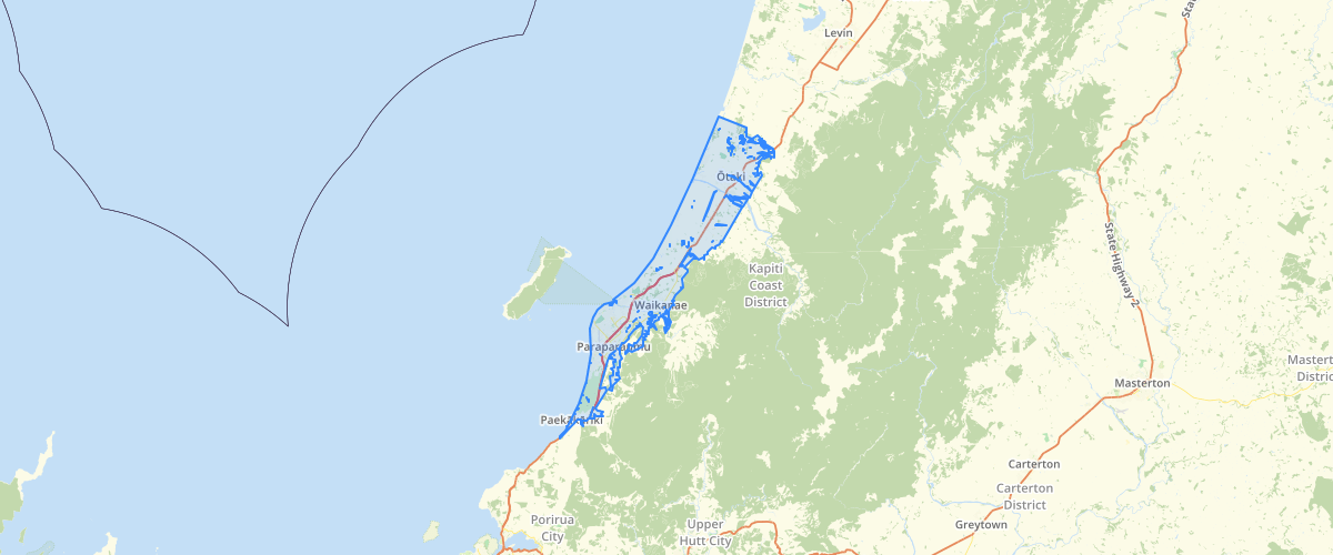
Request AccessWellington Regional Council - Wellington Region Combined Earthquake Risk, This Combined Earthquake hazard shapefile is a compilation of all "combined earthquake hazard" ArcInfo coverages in major urban areas of the Wellington Region. The coverages represent overlays of all previous earthquake hazard data. 1: Area of tsunami inundation2: 20m buffer along major fault traces3: Ground shaking4: Liquefaction potential5:Slope failure. The data was calculated using the following methodology: A 2-D database table (cell table, with 10m grids) that covers each map area was constructed. At the centroid of each cell, the relevant Arc-Info polygon attributes was assigned to a field corresponding to each hazard polygon. Calculations between each of these fields were carried out on a record by record (or grid centroid) basis. The calculations then followed for each hazard: • calculate the damage for each item of infrastructure for each hazard, based on the damage ratios given in Tables 6 through 10. • modify the liquefaction damage based on an assessed likelihood that liquefaction will occur in the area • total the damage for each hazard • add the damage for each hazard at each cell centroid to get the total damage due to combinations of hazard, a combined hazard index (CHI). These CHI values were then grouped into the severity using the CHI_HAZ_GR field, which was symbolised as the SEVERITY field. Map publication reference: WRC/RP-T-96/15 For notes on how this coverage was created refer to: Mapping methodology and Risk Mitigation Measures Publication: WRC/RP-T-96/22. Refer also to Consultant Ian R Brown Associates at www.irba.co.nz/.
Sample Properties
- {} 5 keys▶
- 5
- "1 Low"
- 155930780.64538413
- 245491.81828286138
- 1