
Hawkes Bay RCEP Transition Hazard Zone - Hawkes Bay Regional Council
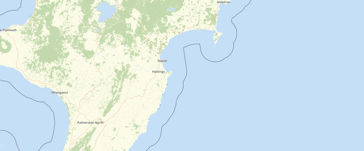
Request AccessThe Hawke's Bay Regional Council commissioned Tonkin & Taylor Ltd to undertake a regional hazard assessment using high resolution aerial survey of large areas of the cliff coastline and georeferenced photogrammetric analysis was carried out for other areas, enabling mapping of Cliff shore hazard zones along the Hawke's Bay coastline. Where areas of the Cliff Shore Hazard Zone intersect with areas of the soft shore hazard areas (i.e. ‘Current Erosion Risk Zone’ and ‘2100 Erosion Risk Zone’), a ‘transitional zone’ has been created. Within this zone, the potential hazard could be due to coastal processes, cliff processes or a combination of the two. Multiple and complex processes potentially occur in these transitional zones. A delineation of the cliff toe (base) was obtained for all areas along the Hawke’s Bay coast where predominate cliffs exist in the immediate backshore area of the shoreline. The cliff toe/base was identified as the point where the backshore area of the beach changed slope dramatically to form a cliff. There was no discrimination as to the geology of the cliff; therefore the cliff could range from ‘soft’, erosion prone material or ‘hard’, erosion resistant material. The cliff toe was identified and digitised from four sources: • stereophotogrammetry aerial photographs (undertaken by New Zealand Aerial Mapping) • LIDAR derived elevation data (supplied by HBRC) • georeferenced aerial photography (monophotogrammetry) • LINZ 260 Map Series digital data 1:50000 digital elevation and coastline data. The method used was proposed by the California Coastal Zone Conservation Commission for slopes of low stability and is considered suitable for competent cliffs in rural zoned areas and reserve areas. Only one zone was established along cliff shores, which comprised the larger of the two methods.
Metadata
| Date | January 29, 2020 |
| License | No License Provided |
Sample Properties
- {} 5 keys▶
- "T1"
- "Cliff Shore Hazard Area & Extreme Erosion Inundation"
- 336.33072115224195
- 3119.55891077306
- 1