
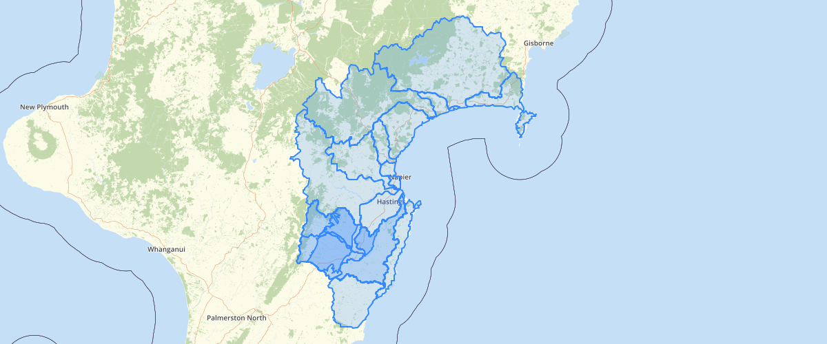
Hawkes Bay LAWA Water Management Zone Reference Data - Hawkes Bay Regional Council
Request AccessThis dataset was created to provide information to LAWA as part of the federated data project. The features are aggregations of NIWA’s River Environment Classification watersheds. Water allocation information from current Regional Plans is provided for both groundwater and surfacewater where this is available. Time series identifiers for water use are also provided.
Metadata
| Date | January 29, 2020 |
| License | No License Provided |
Sample Properties
- {} 9 keys▶
- "Surface Water"
- "HawkesBay SW"
- "Ahuriri SW"
- ""
- ""
- "Ahuriri SW"
- 105477.62140780949
- 145640469.0274437
- 2190