
Canterbury - Hurunui liquefaction susceptibility 2011
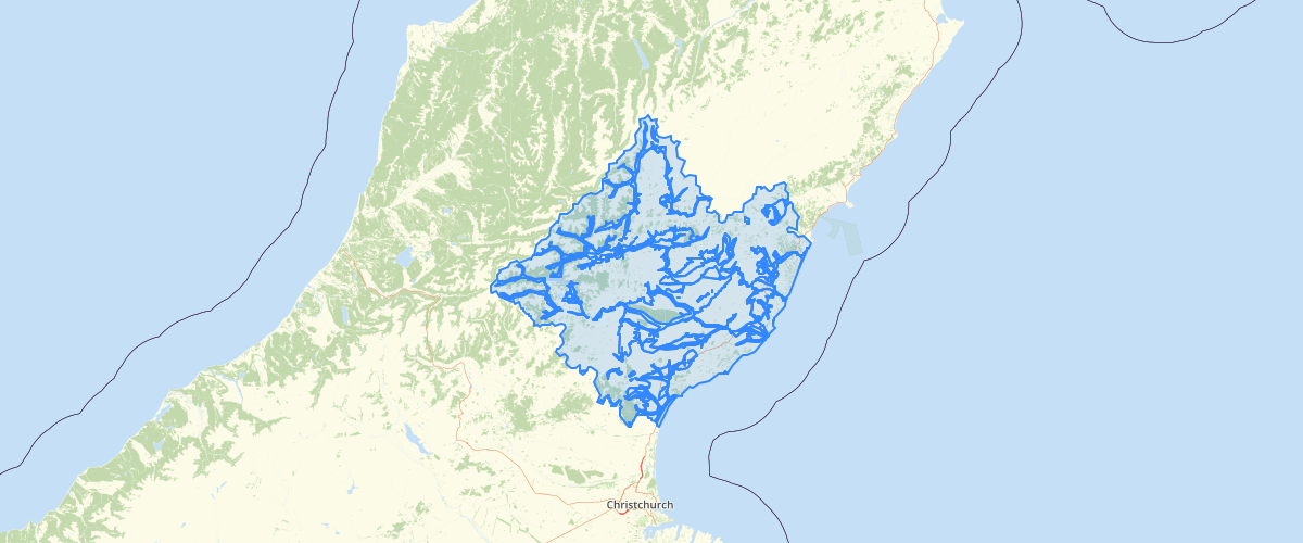
Request AccessCanterbury - Hurunui liquefaction susceptibility 2011 - The dataset shows zones of different liquefaction susceptibility within Hurunui district.The dataset is based on the 1:250,000 liquefaction potential maps (Figures 2 and 3) in McCahon (2011) Liquefaction hazard in Hurunui District. Environment Canterbury report number R11/61, but uses the more accurate boundaries of geological units directly from the GNS Science QMAP (1:250,000) geological map series (Greymouth, Kaikoura and Christchurch map sheets) as the zone boundaries. The McCahon (2011)report also used the surface geology from the GNS Science QMAP series, with limited borehole information, to delineate areas of liquefaction potential, but the maps in the report were not developed in GIS and are not adequately georeferenced. NOTE: The southeastern part of this dataset (around Leithfield, Leithfield Beach and Amberley Beach) has been superseded by Brackley (comp), 2012, Review of liquefaction hazard information in eastern Canterbury, including Christchurch City and parts of Selwyn, Waimakariri and Hurunui Districts. Environment Canterbury report R12/83.
Metadata
| Date | 27/03/2017 |
| License | CC BY 3.0 |
Sample Properties
- {} 9 keys▶
- 5
- 4
- "Rock and hill soils"
- ""
- ""
- "Extremely low to no liquefaction potential"
- "N"
- 3165750.624061546
- 6649208049.744027