
Waikato Healthy Rivers Catchments - Waikato Regional Council
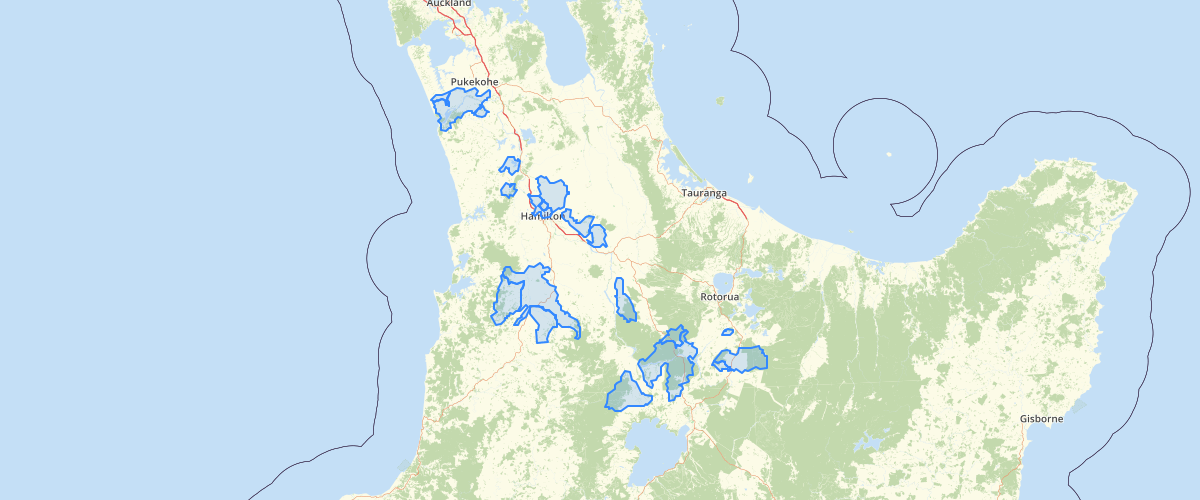
Request AccessCatchment boundaries to be used for Healthy Rivers - Plan Change 1 mapping and analysis. Branded as Healthy Rivers: Plan for Change / Wai Ora: He Rautaki Whakapaipai project. The Plan Change 1 provision compliance dates have been updated to reflect the changes made as a result of public notification of Variation 1 on the 10th of April 2018; this information has been added as attributes to this catchments layer. See metadata for feature HEALTHY_RIV_CATCHMENT in Healthy Rivers - Plan Change 1 - GIS Layer
Metadata
| Date | 3/9/2020 |
| License | CC BY 4.0 |
Sample Properties
- {} 14 keys▶
- 3012631
- "1097_1"
- ""
- 4724.87889919
- "Awaroa Strm (Lake Waahi)"
- "Lake Waahi outlet at Harris Rd/Te Ohaki Rd bridge"
- 18
- 1
- 9
- "Register with council and provide a Nitrogen Reference Point between 1 May 2020 and 30 November 2020"
- "Complete a Farm Environment Plan by 1 March 2022"
- "Complete stock exclusion by 1 March 2025"
- ""
- "Awaroa (Rotowaro) at Harris/Te Ohaki Br"