
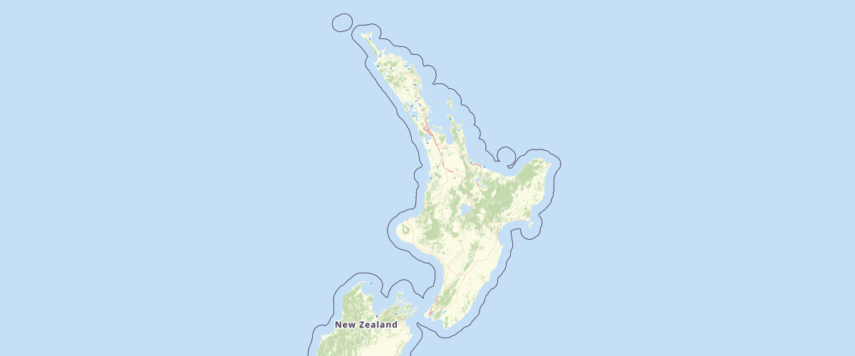
Land Cover Nz V5
Request AccessLCDB v5.0 - Land Cover Database version 5.0, Mainland New Zealand LCDB, The New Zealand Land Cover Database (LCDB) is a multi-temporal, thematic classification of New Zealand's land cover. It identifies 33 mainland land cover classes (35 classes once the offshore Chatham Islands are included). The classification was revised between versions 1, 2, and 3 but has been consistent thereafter, and always with backward compatibility maintained. Land cover features are described by a polygon boundary, a land cover code, and a land cover name at each nominal time step; summer 1996/97, summer 2001/02, summer 2008/09, summer 2012/13, and summer 2018/19. The data set is designed to complement in theme, scale and accuracy, New Zealand’s 1:50,000 topographic database (www.linz.govt.nz/land/maps/topographic-maps/topo50...). LCDB is suitable for use in national and regional environment monitoring, forest and shrubland inventory, biodiversity assessment, trend analysis and infrastructure planning. The classification used in LCDBv5.0 is presented in the document 'LCDBClassesAtVersion5.pdf' and a table correlating LCDB classes over all versions is presented in the document 'LCDBClassCorrelations.pdf'. Both of these are among the accessory documents to this dataset in the LRIS portal (lris.scinfo.org.nz/). LCDB version 5.0 was released in January 2020 and includes corrections to all time steps 1997/97, 2001/02, 2008/09, 2012/13 and 2018/19 for both the New Zealand mainland and Chatham Islands. A description of work undertaken for this release (including that of all earlier releases) is presented in the Lineage section. Of particular note at version 5.0 is the addition to LCDB, of attributes designed to readily identify and monitor wetlands over time and a similar capability to manage significant coastal changes. “EditAuthority” and "EditDate" are attributes, maintained since version 3.0 to indicate authorship and nominal date of polygon mapping, edit or change. Errors in the data due to misclassification (rather than land cover change) or poor delineation can be reported to Landcare Research for inclusion in the next release using the online feedback facility in lris.scinfo.org.nz/.
Metadata
| Date | 29/01/2020 |
| License | CC BY 3.0 NZ |
| Originator | Landcare Research New Zealand Ltd |
| Provider | LRIS Portal - Land Resource Information Systems Portal |
Sample Properties
- {} 23 keys▶
- "lcdb2000096676"
- "2004-06-29T12:00:00.000Z"
- "Terralink"
- "no"
- "no"
- "no"
- "no"
- "no"
- "yes"
- "yes"
- "yes"
- "yes"
- "yes"
- 46
- 46
- 46
- 46
- 46
- "Herbaceous Saline Vegetation"
- "Herbaceous Saline Vegetation"
- "Herbaceous Saline Vegetation"
- "Herbaceous Saline Vegetation"
- "Herbaceous Saline Vegetation"