
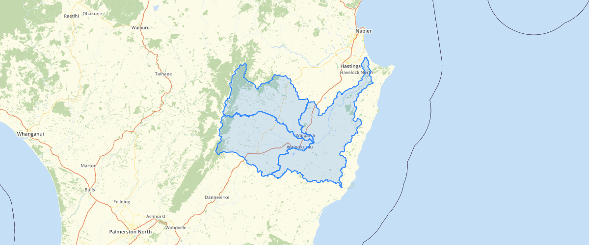
Hawkes Bay Tukituki Surface Water Allocation Zones
Request AccessThis dataset was created as a geospatial template to facilitate the development of a Water Allocation Framework for Hawke’s Bay Regional Council. Based on tributary catchments, these zones allow the establishment of specific rules for minimum flows and allocation limits. NIWA’s River Environment Classification was used to define each zone based on watershed areas. A range of environmental data is being made available for each zone in the Region, with processes in place for continual updates. This dataset provides a template for defining a range of specific values. By having zone-specific information on values like ecology, irrigation demand, recreational activities, cultural significance, and scenic amenity, environmental management decisions will be better informed and appropriate to each zone’s end users. Zones also allow for detailed account of spending for investigations and monitoring.
Metadata
| Date | January 29, 2020 |
| License | No License Provided |
Sample Properties
- {} 6 keys▶
- "Tukituki"
- "3"
- "Middle-upper Tukituki"
- 215839.06980766405
- 768684141.1006597
- 1