
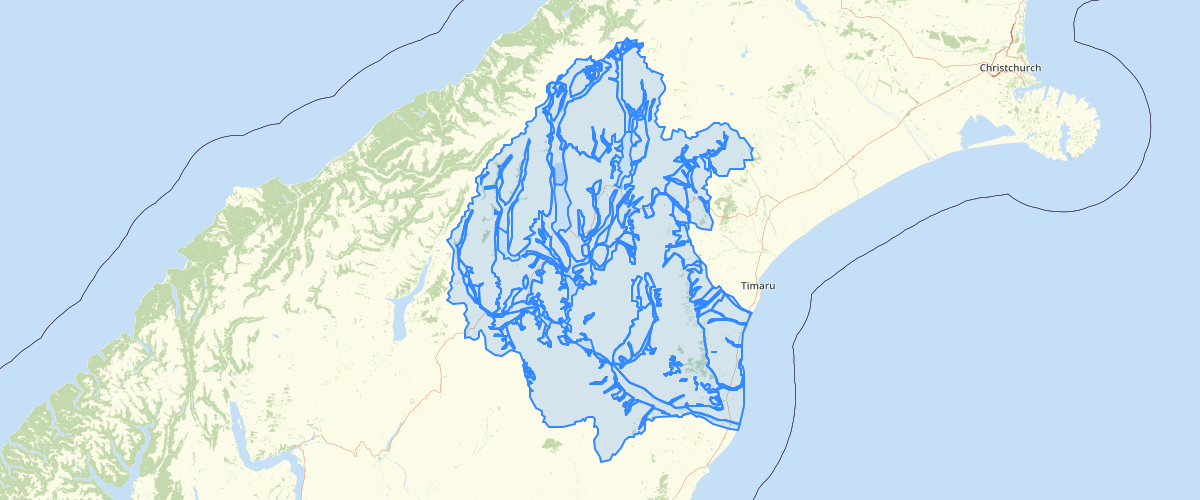
Canterbury - Waimate Mackenzie and part Waitaki liquefaction susceptibility 2008
Request AccessCanterbury - Waimate Mackenzie and part Waitaki liquefaction susceptibility 2008 - This dataset delineates zones of liquefaction susceptibility. The zones have been digitised from the liquefaction potential map (Figure 7.1) in Yetton & McCahon, 2008, Earthquake Hazard Assessment for Waimate, Mackenzie and part Waitaki districts. Environment Canterbury report U08/18. This dataset will be redrawn in 2014 using the more accurate 1:250,000 QMAP geological map unit boundaries.
Metadata
| Date | 27/03/2017 |
| License | CC BY 3.0 |
Sample Properties
- {} 9 keys▶
- 4
- "1"
- ""
- ""
- ""
- "Low liquefaction potential"
- "River sediments <10,000 years old (active river beds & flood plains). There is a possibility of liquefaction of small, isolated areas during strong earthquake shaking."
- 2285272.3697713464
- 1465289909.4605198