
Hawkes Bay Vegetation Clearance Management Area
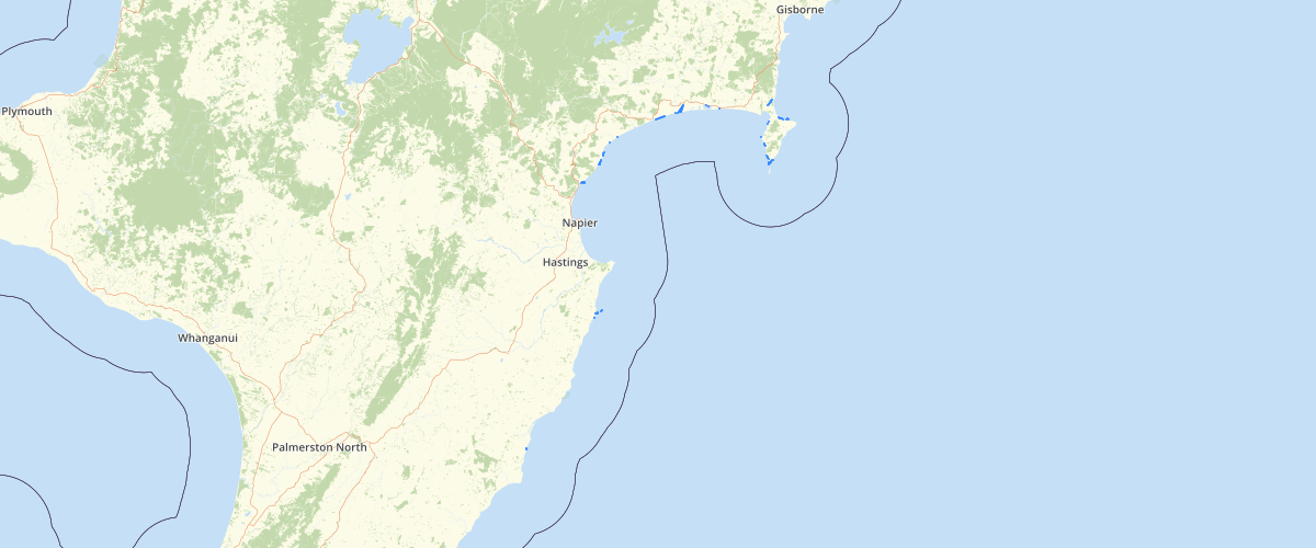
Request AccessThis dataset refers to the boundaries of the Hawke's Bay Region. It contains information on a set of polygons which represent the mainland area and offshore islands of the region. The union of the set represents the land area of the Hawke's Bay Region, and the union of the boundaries of the polygons is the boundary of the region. The dimensions and centroid coordinates of the polygons are included in the file.
Metadata
| Date | January 29, 2020 |
| License | No License Provided |
Sample Properties
- {} 8 keys▶
- 0
- -1
- "G +F"
- "H 5"
- ">35degrees"
- 370.9775112893556
- 5037.102414554936
- 1