
Australia - Brimbank Stormwater Pipes
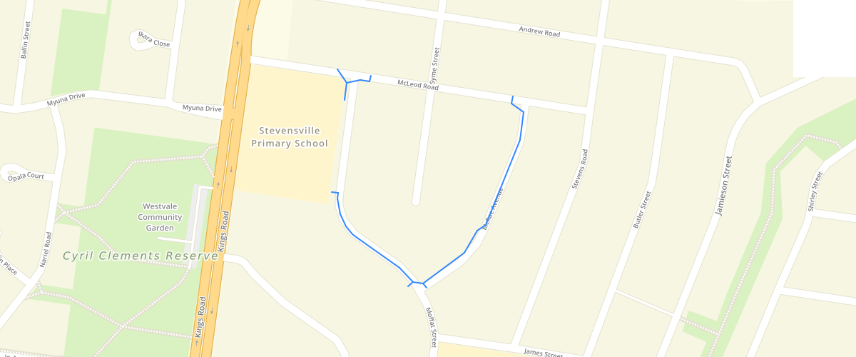
Request AccessAustralia - This table outlines the stormwater drainage pipelines in Brimbank City Council. Object type is line. Attributes information includes pipe ID, location, coordinates, pipe features, connected pits, inverts, source, length and size. While all due care has been taken to ensure the dataset is accurate and current, there may be errors or omissions in it. Brimbank City Council and its employees accept no responsibility for the completeness, accuracy or reliability of the data. Brimbank City Council and its employees also accept no responsibility for any loss, damage, claim, expense, cost or liability whatsoever (including in contract, tort including negligence, pursuant to statue and otherwise) arising in respect of or in connection with using or reliance upon the data in this dataset.
Metadata
| Date | 2019-03-12 |
| License | CC BY 2.5 AU |
Sample Properties
- {} 19 keys▶
- "Mcleod Rd"
- null
- "38 McLeod Road"
- "Reinforced Concrete"
- "01/10/1964"
- null
- "Active"
- "144.7819586397718"
- "-37.735876656557025"
- 22.24
- 300
- 0
- "PT015193"
- 1.5
- "PT015192"
- 1.5
- 73.5
- 73
- 2.2482014388489