
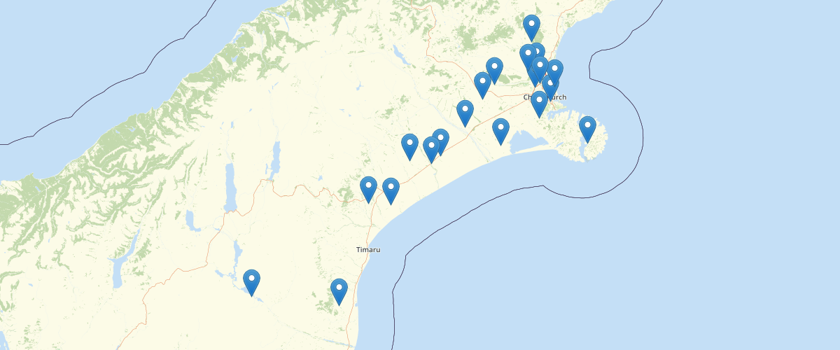
Canterbury - Resource Consents Active
Request AccessCanterbury - Resource Consents Active - General locations of current consents, permits and applications under the Resource Management Act by Environment Canterbury Regional Council. The layer includes details on: The type of permit (land use consent, discharge permit, etc.), the current status of the permit (active, in process, etc.), the name of the applicant, a description of the location where the activity related to the permit is undertaken, and if the permit was successfully issued, the period over which the permiitted activities apply. The layer also contains several sumary fields related to spatially defined regions the location lies with including: which territorial local authority(s); the Land and Water Regional Plan groundwater & surface water allocation zones and nutrient management zone; the Canterbury Water Management Strategy (CWMS) zone; the Ngai Tahu Runanga area of interest for Resource Consenting purposes; and the clean air zone.
Metadata
| Date | 08/10/2020 |
| License | CC BY 3.0 |
Sample Properties
- {} 33 keys▶
- "CRC060747"
- "Discharge Permit (s15)"
- "New Consent"
- "Issued - Active"
- "RMA Authorisation"
- "CO6C/23984"
- "Mr & Mrs J P & I Buchan"
- "EC104542"
- "580 Carrs Road, NOTH LOBURN"
- "2005-09-21T00:00:00.000Z"
- "Commencement Date"
- "2040-09-21T00:00:00.000Z"
- "Expiry Date"
- "2010-09-30T00:00:00.000Z"
- "2006-07-01T00:00:00.000Z"
- "2040-09-21T00:00:00.000Z"
- "Waimakariri District"
- "6620400 - Makerikeri River"
- "Waimakariri"
- "Tuahuriri"
- ""
- "Ashley River"
- "At Risk"
- "Ashley"
- ""
- "1562062"
- "5214345"
- "BW23:6206-1434"
- "Unknown"
- "10CAP-00000-010T0"
- "http://ecan.govt.nz/data/consent-search/consentdetails/CRC060747"
- 76738
- 846300