
Canterbury - Groundwater Allocation Zones
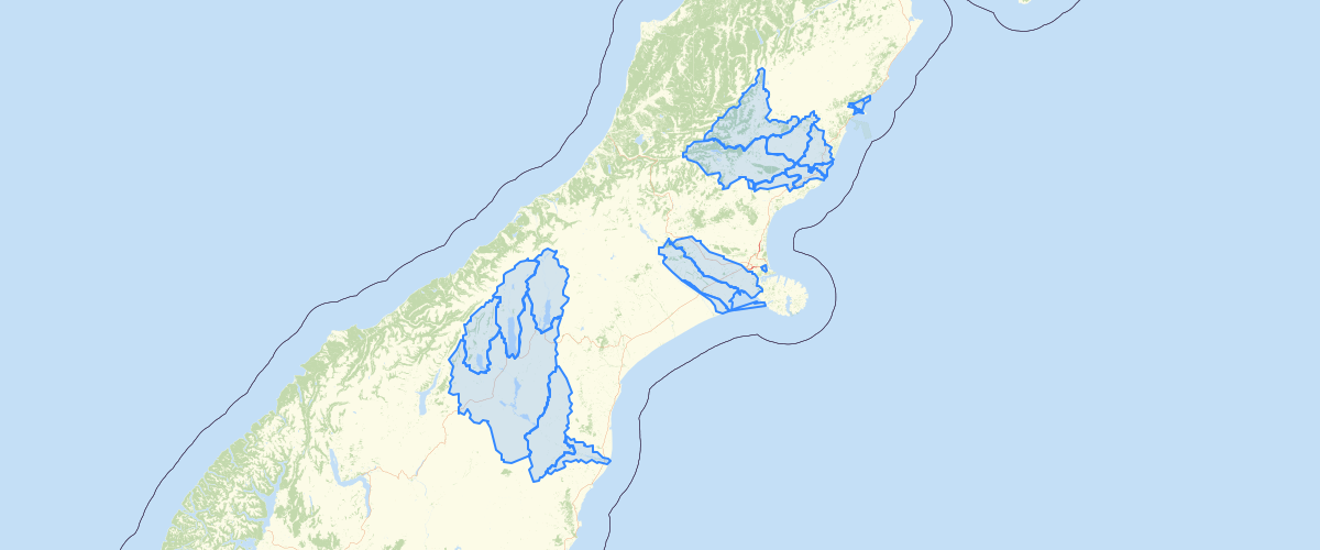
Request AccessCanterbury - Groundwater Allocation Zones - Intended Use The Groundwater Allocation Zones layer collates zones for regulating groundwater use as defined in the Canterbury Land and Water Regional Plan (LWRP) and various regional plans. This includes groundwater allocation zones, groundwater management zones, and combined surface water and groundwater zones. Layers were digitised to cadastral accuracy (1:10,000 scale), but recommended use is at the 1:50,000 scale or smaller. For further information on plans and associated planning boundaries, please visit https://www.ecan.govt.nz/your-region/plans-strategies-and-bylaws/ and https://eplan.ecan.govt.nz/eplan/#/Property/0 Attribute Information Spatial IDs: ObjectID, GeoPK, GeoCat, GeoIDZone Names: Zone Name, Label Plan Name LWRP - Canterbury Land and Water Regional Plan HWRRP - Hurunui and Waiau River Regional Plan PCEFWARP - Pareora Catchment Environmental Flow and Water Allocation Regional Plan WCEFWARP - Waipara Catchment Environmental Flow and Water Allocation Regional Plan WCWARP - Waitaki Catchment Water Allocation Regional Plan Zone Status Operative - operative plan holding legal bearing Proposed-Notified - publicly notified proposed plan Proposed-Decision - hearing decision version of the proposed plan Zone Type Groundwater Allocation Zone - plan applies groundwater allocation limits Groundwater Management Zone - plan applies allocation and quality limits to Christchurch Groundwater Protection Zone Combined Allocation Zone - plan applies allocation limits to both surface water and groundwater No Groundwater Allocation Zone - aggregate of areas not yet assigned groundwater allocation zones GIS Metadata Fields: Sourcecode, QARCode, CreatedBy, CreatedDate, ModifiedBy, ModifiedDateGIS Shape Fields: Perimeter_M, Area_M2, Area_HA, Shape, Shape.STArea(), Shape.STLength()
Metadata
| Date | 31/03/2020 |
| License | CC BY 3.0 |
Sample Properties
- {} 20 keys▶
- 1
- "CWAZ0001"
- "CWAZ"
- "0001"
- "Selwyn-Waimakariri"
- "Selwyn-Waimakariri"
- "Operative"
- "LWRP"
- "Combined Allocation Zone"
- "MANCAP"
- 6
- "Environment Canterbury"
- "2015-07-03T00:00:00.000Z"
- "Environment Canterbury"
- "2019-08-15T00:00:00.000Z"
- 326281.85186533
- 1316004383.07004
- 131600.438307
- 326281.8518653311
- 1316004383.0700376