
Aquifers
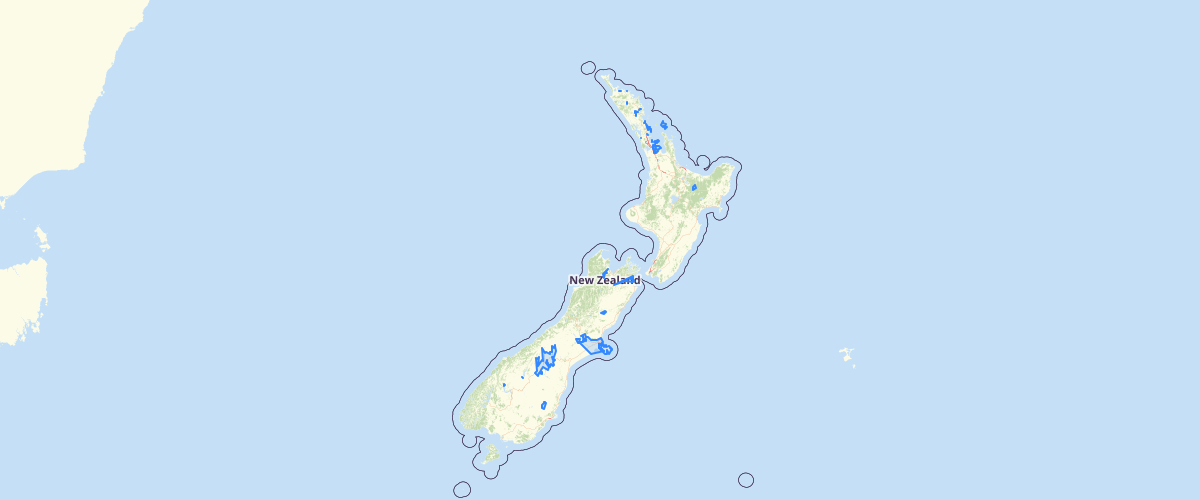
Request AccessA unit of rock or sediment is called an aquifer when it can yield a usable quantity of water. Aquifers may occur at different depths in the same location. The map shows the areas of New Zealand’s land surface above one or more aquifers. The aquifer boundaries were described by White (2001), and some boundaries were updated by Moreau and Bekele (2015), using information provided by regional councils and from Lovett and Cameron (2015). The map has 153 polygons (aquifer outlines), some of which have more than one aquifer. Methods for defining aquifer boundaries generally rely on knowing the locations and characteristics of productive wells, and using geological maps to identify water–bearing materials. In many cases, these boundaries are also influenced by management attributes such as regional or property boundaries, and surface water catchments (Lovett & Cameron, 2015).
Metadata
| Data use limits | Ministry of Environment must be acknowledged as the source of the data |
| Date | 11/01/2016 |
| License | CC BY 3.0 NZ |
| Originator | Ministry for the Environment |
| Provider | Ministry for the Environment |
Sample Properties
- {} 10 keys▶
- 980.342
- "ECAN"
- "Banks Peninsula"
- "White et al. 2001 Groundwater in NZ"
- "155"
- 0
- "Updated"
- "Fractured basalt lavas"
- "Basalt"
- 448534.731441