
Canterbury - Depth to Groundwater Greater than 6m
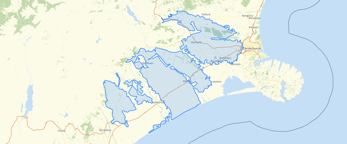
Request AccessCanterbury - Depth to Groundwater Greater than 6m - Shows areas where the average depth beneath surface level to the top of the water table is greater than 6 metres. Depth was calculated by measuring the distance to the highest water level at wells that as at 2003 had greater than 12 recorded observations. Areas where depth to ground water was greater than 6 metres were then interpolated from these measurements. Areas not included are either where the depth to ground water is less than 6 metres or there was no available data. This layer is indicative only, and should not be used at scales less than 1:150,000.
Metadata
| Date | 27/03/2017 |
| License | CC BY 3.0 |
Sample Properties
- {} 12 keys▶
- 1
- 411479.51742025
- 1756150444.5897
- 175615
- "UNKNWN"
- 0
- "Marc Ettema"
- "2004-06-08T00:00:00.000Z"
- "GIS Admin"
- "2010-10-07T00:00:00.000Z"
- 1756150444.5927734
- 411479.51742025465