
Hawkes Bay Napier District Plan Hazard Zones - Hawkes Bay Regional Council
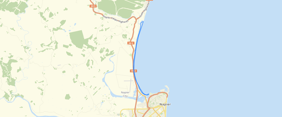
Request AccessDisplays the existing coastal hazard zone that are currently included in the City of Napier District Plan. This layer covers the area between the mouth of the Inner Harbour at Ahuriri, to the Esk River Mouth at Bay View
Metadata
| Date | January 29, 2020 |
| License | No License Provided |
Sample Properties
- {} 9 keys▶
- "1000"
- "0001"
- "Bayview/Ahuriri"
- "Coastal Hazard Zone"
- ""
- ""
- 20811.17236464054
- 843511.5708674134
- 1