
Taranaki Storm Water Node - New Plymouth District Council
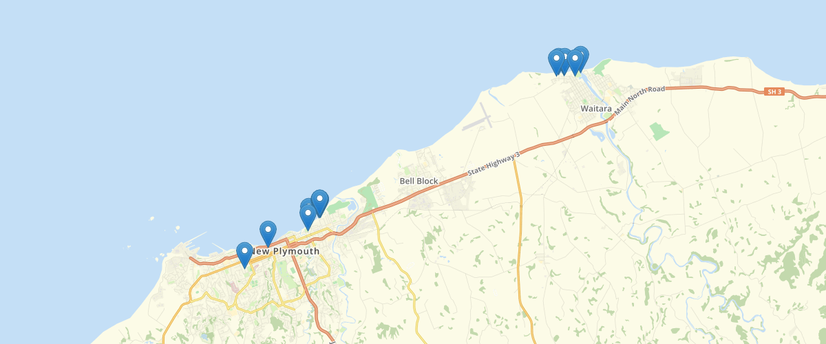
Request AccessThis dataset displays the stormwater nodeswithin the New Plymouth District area. Stormwater nodes include junction point in pipes, endpoints and miscellaneous points that affect the attributes of a water pipe. The data has been compiled from a number of sources and its accuracy may vary. This data is provided "as is" without warranty of any kind. NPDC recommends that you independently verify the accuracy, currency and reliability of any information upon which you intend to rely. The GIS data made available by NPDC may be amended and updated by the Council without notification. There may be significant delays before data is updated to reflect changes in an area.
Metadata
| Date | 17/03/2020 |
| License | CC BY 4.0 |
Sample Properties
- {} 13 keys▶
- 40094235
- "WA-CENTE0900DO"
- "Outlet"
- "1899-11-30T00:00:00.000Z"
- "In Service"
- "Unknown"
- "Stormwater"
- ""
- "DIGITISE"
- "2020-05-13T00:00:00.000Z"
- "1995-01-30T00:00:00.000Z"
- "Stormwater and Flood Protection\Waitara System\Waitara System\Waitara Catchment"
- 1