
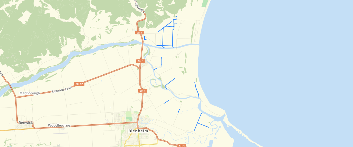
Marlborough - MEP - Drainage Channel Network
Request AccessMarlborough - MEP - Drainage Channel Network - This dataset is part of the proposed Marlborough Environment Plan, as amended by decisions. Depicts the Council administered drainage channel network on the Wairau Plains. This layer is a copy of the layer 'Drainage Network' and was made as a one-off copy for the MEP. Date of copy unknown. For more information, check the Marlborough Environment Plan website. Symbology settings for display in GIS applications: Colour: RGB 0, 140, 230 Width: 2
Metadata
| Date | 20/03/2020 |
| License | CC BY 4.0 |
Sample Properties
- {} 3 keys▶
- 255
- "Eyles"
- 1161.1426352854726