
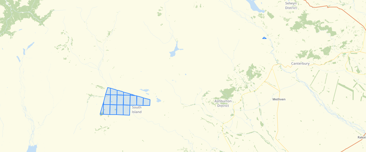
Canterbury - Latest Infrared Imagery - Footprints
Request AccessCanterbury - Latest Infrared Imagery - Footprints - Infrared is invisible radiant energy with wavelengths longer than those of visible light, extending from the nominal red edge of the visible spectrum at 700 nanometers (frequency 430 THz) to 1 mm (300 GHz). Electromagnetic Specturm Image by Philip Ronan, Gringer CC BY-SA 3.0 In this infrared imagery, vegetation appears in shades of red, urban areas are cyan blue, and soils vary from dark to light browns. Ice, snow, and clouds are white or light cyan. Coniferous trees will appear darker red than hardwoods. Generally, deep red hues indicate broad leaf and/or healthier vegetation while lighter reds signify grasslands or sparsely vegetated areas. Vegetation is highly reflective due to chlorophyll, vividly showing vegetation in various shades of red. Water appears darker, due to the absorption of energy in the visible red and infrared bands. This infrared imagery was captured between 2012-2016 at 0.4-0.3 metre resolution. Band Combination: 4 1 2
Metadata
| Date | 05/12/2017 |
| License | CC BY 3.0 |
Sample Properties
- {} 14 keys▶
- 1
- "2013_BW20_1007_5000_RGBI"
- "PGRM2392 Canterbury Rural"
- "2012-10-30T00:00:00.000Z"
- "4693m"
- "NZTM"
- "Lyttelton 1937"
- "+/-0.6m"
- "+/-0.8m"
- "Environment Canterbury et al."
- "http://creativecommons.org/licenses/by/3.0/nz/"
- "Freely available work must be attributed for use"
- 785.6537582589792
- 25458.5134760451