
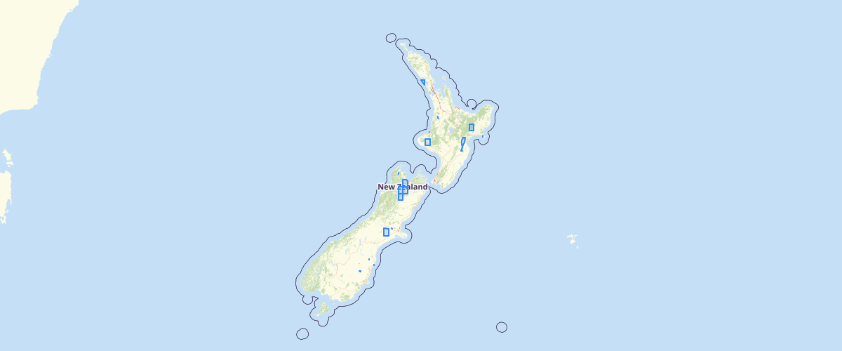
Spot Maps 2009 footprints
Request AccessMetadata relates to the mosaicked imagery. This layer has been provided to enable users to explore coverage and capture dates of the imagery. To enquire about ordering the imagery, please e-mail lucas[at]mfe.govt.nz. This imagery is 2.5m, three-band (B, G, R) cloud-minimised mosaics of SPOT 5 satellite scenes over mainland New Zealand captured from early-2008 to mid-2009. Note that the blue band is artificial. The imagery is only available to NZ "All-of-Government" agencies. Eligible agencies include central (Crown), regional and local government, universities and CRIs. Agencies contracted to do the work of any of these bodies may be granted limited access at the discretion of the imagery licensor, Airbus Defence and Space, Australia.
Metadata
| Date | 20 Jul 2017 |
Sample Properties
- {} 40 keys▶
- "2009_SPM_AZ29_50K"
- 80832.3774492
- "2012-08-09"
- "SPOT 5"
- "includes material © CNES 2009, Distribution Spot Image S.A., France, all rights reserved"
- "All-of-Government"
- "indefinite"
- "Spot Imaging Services"
- ""
- "SPOTMaps 2008 - 2009"
- "Spot Imaging Services"
- null
- null
- null
- null
- 0
- 0
- 0
- 0
- 1
- 1
- 1
- 0
- 0
- 0
- 3
- 10
- "metres"
- 2.5
- "metres"
- 2.5
- "2008 - 2009"
- "2009-06-16"
- "NZGD2000 - New Zealand Geodetic Datum 2000"
- "NZTM - New Zealand Transverse Mercator"
- "SPOTMaps"
- "rectified"
- "satellite mosaic"
- "imagery"
- "2009_SPM_AZ29_50K"