
Hawkes Bay LAWA Monitoring Site Reference Data - Hawkes Bay Regional Council
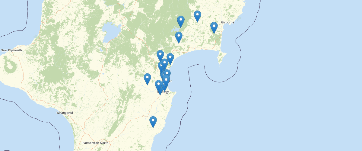
Request AccessProvides information about Hawke’s Bay Regional Council environmental monitoring sites that are providing information as part of the EMAR Federated data project. Site locations, types, and some basic additional information (including flow statistics) are provided.
Metadata
| Date | January 29, 2020 |
| License | No License Provided |
Sample Properties
- {} 67 keys▶
- "0"
- "Ahuriri Lagoon at Causeway"
- ""
- "Ahuriri SW"
- ""
- "Ahuriri Catchment"
- ""
- ""
- "No"
- ""
- "No"
- ""
- "Yes"
- ""
- "No"
- ""
- "No"
- ""
- "No"
- ""
- "No"
- ""
- ""
- "No"
- "No"
- ""
- "Hawkes Bay"
- "HBRC"
- ""
- ""
- ""
- ""
- 96
- ""
- ""
- ""
- ""
- ""
- ""
- ""
- ""
- ""
- ""
- ""
- ""
- ""
- 1
- ""
- ""
- 4
46 ... 62▶▶