
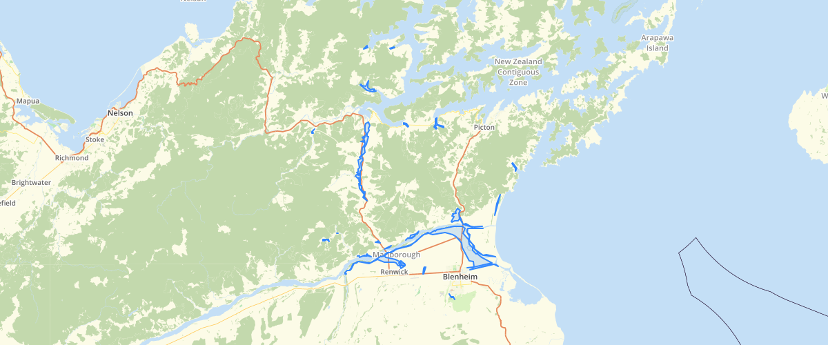
Marlborough - MEP - Flood Hazard Areas
Request AccessMarlborough - MEP - Flood Hazard Areas - This dataset is part of the proposed Marlborough Environment Plan, as amended by decisions. The layer identifies land subject to Level 1, 2, 3 and 4 flood hazard. For more information, check the Marlborough Environment Plan website. Symbology settings for display in GIS applications: Level 1 : Outline - None, Fill - RGB 179, 247, 255 Level 2: Outline - None, Fill - RGB 51, 166, 217 Level 3: Outline - None, Fill RGB 255, 217, 64 Level R: Cross-hatching, seperation 8, RGB 255, 0, 0,, width 0.4. Outline RGB 255, 0, 0, width 0.4
Metadata
| Date | 18/03/2020 |
| License | CC BY 4.0 |
Sample Properties
- {} 5 keys▶
- 1
- "Level R"
- "Level R (Residual)"
- 22044571.911468945
- 133904.30458750244