
Waikato DP National Grid - Waikato District Council
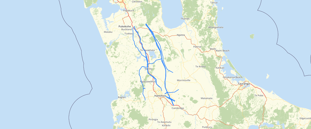
Request AccessThese data sets are all associated with the council district plan, District Plan, and the Planning maps on Proposed District Plan Maps. The Overlay Polygons is a subset of the Proposed District Plan, the associated data are line and point features as well as the Proposed District Plan Zones.
Metadata
| Date | 6/17/2019 |
| License | CC BY 4.0 |
Sample Properties
- {} 5 keys▶
- 18571
- "National Grid"
- ""
- 105747.639560978
- "220 kV"