
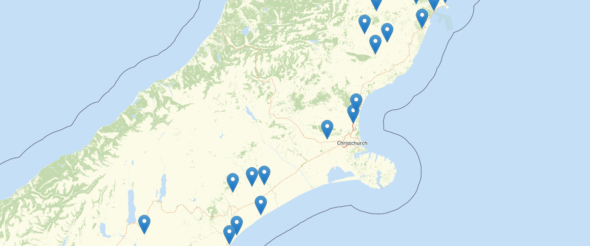
Canterbury - River Flow and Stage Monitoring Sites
Request AccessCanterbury - River Flow and Stage Monitoring Sites - Locations where river flow or stage measurements have been recorded. These locations are derived from Environment Canterbury's Gaugings Database. Each record summarises the date of the first and most recent survey, the number of surveys recorded for the site, whether the site is monitored for a specific reason (such as for compliance or low flow monitoring purposes) and lists the minimum and maximum surveyed flows recorded.
Metadata
| Date | 07/09/2020 |
| License | CC BY 3.0 |
Sample Properties
- {} 24 keys▶
- 69603
- "OPIHI RIVER"
- "MOUTH (RECORDER)"
- "OPIHI RIVER AT MOUTH (RECORDER)"
- "T"
- "R"
- "T"
- ""
- "N"
- "N"
- ""
- null
- "1970-01-01T00:00:00.000Z"
- "1970-01-01T00:00:00.000Z"
- ""
- ""
- null
- 2378000
- 5657670
- "K38:78000-57670"
- 1468044
- 5096062
- "BZ20:6804-9606"
- 3413088