
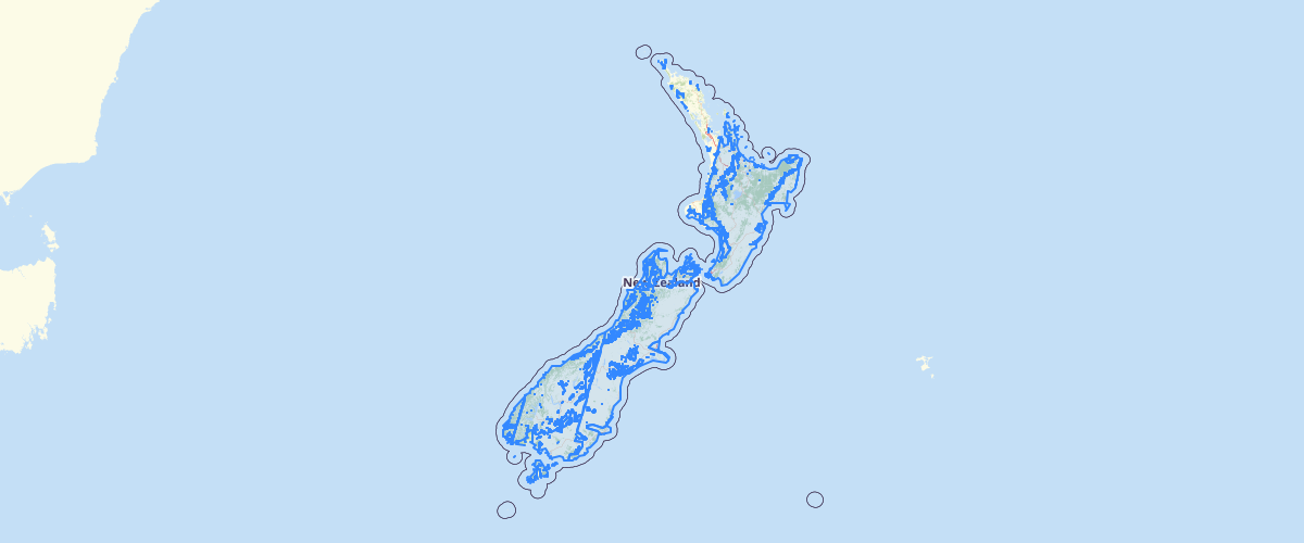
Sentinel 2 2016 footprints
Request AccessMetadata relates to the mosaicked imagery. This layer has been provided to enable users to explore coverage and capture dates of the imagery. To enquire about ordering the imagery, please e-mail lucas[at]mfe.govt.nz. This imagery is 10m, ten-band multispectral, cloud-minimised mosaics of Sentinel 2A satellite tiles over mainland New Zealand made from scenes captured late-2015/early-2016.
Metadata
| Date | 20 Jul 2017 |
Sample Properties
- {} 40 keys▶
- "si_S2A_1516_aref"
- 662292.180541
- "2017-02-17"
- "sen2a_msips_r115_160316_cloud_nztm"
- "produced from European Space Agency remote sensing data"
- "unrestricted"
- "indefinite"
- "European Space Agency"
- ""
- "2016 Mapping Research and Development"
- "European Space Agency"
- null
- null
- null
- null
- 0
- 0
- 2
- 3
- 3
- 1
- 1
- 0
- 0
- 0
- 10
- 8
- "metres"
- 10
- "metres"
- 10
- "2015 - 2016"
- "2016-03-17"
- "NZGD2000 - New Zealand Geodetic Datum 2000"
- "NZTM - New Zealand Transverse Mercator"
- "Sentinel 2A"
- "rectified"
- "satellite mosaic"
- "imagery"
- "si_S2A_1516_aref"