
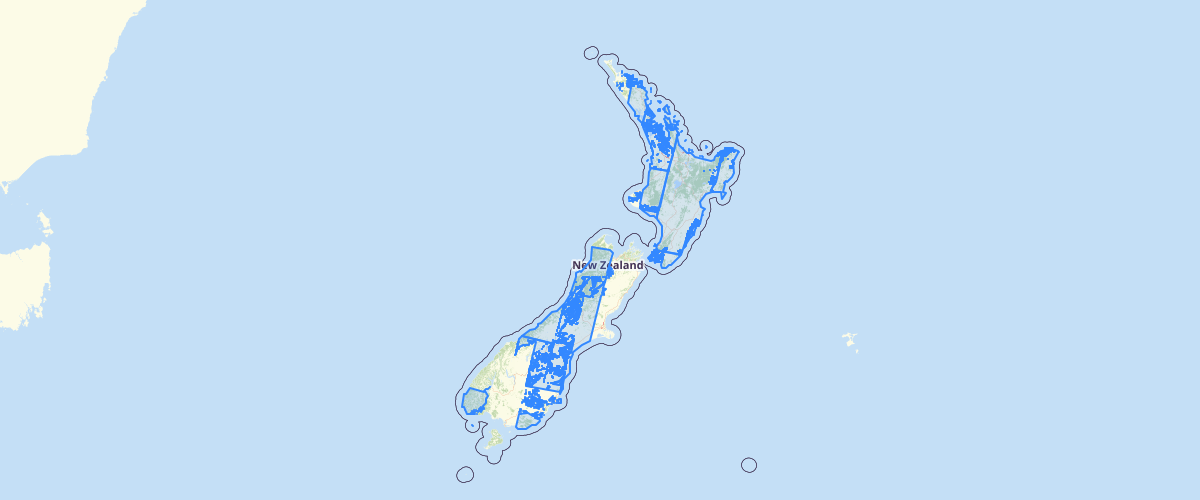
Landsat 4 1990 footprints
Request AccessMetadata relates to the mosaicked imagery. This layer has been provided to enable users to explore coverage and capture dates of the imagery. To enquire about ordering the imagery, please e-mail lucas[at]mfe.govt.nz. This imagery is 15m, six-band multispectral, cloud-minimised mosaics of Landsat 4 satellite scenes over mainland New Zealand captured from late-1988 to early-1993.
Metadata
| Date | 20 Jul 2017 |
Sample Properties
- {} 40 keys▶
- "siarefs_90"
- 1632155.19638
- "2013-04-18"
- "landsat-74-89-1989-06-27"
- "Data available from the U.S. Geological Survey, mosaicing courtesy of Landcare Research"
- "unrestricted"
- "indefinite"
- "United States Geological Survey"
- ""
- "2000 & 1990 Land Use Mapping"
- "Landcare Research Limited"
- 14.4600000381
- null
- null
- null
- 0
- 0
- 1
- 1
- 1
- 1
- 1
- 0
- 0
- 0
- 6
- null
- "metres"
- 15
- "metres"
- 15
- "1988 - 1989"
- "1989-06-28"
- "NZGD2000 - New Zealand Geodetic Datum 2000"
- "NZTM - New Zealand Transverse Mercator"
- "Landsat 4"
- "rectified"
- "satellite mosaic"
- "imagery"
- "siarefs_90"