
Hawkes Bay RCEP Coastal Hazard Zone 3 - Hawkes Bay Regional Council
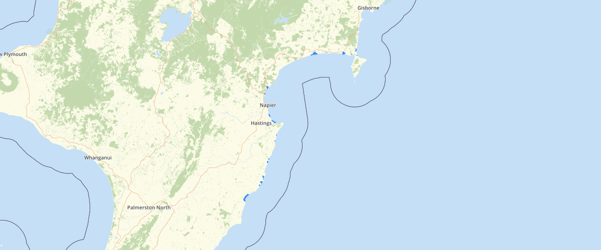
Request AccessThis dataset represents the inland boundaries of ‘Transition Hazard Zones’ (THZ1 and THZ2) identified in the Hawke's Bay Regional Coastal Environment Plan 2013. The RCEP has been prepared for the purposes of assisting the Hawke's Bay Regional Council with its roles and responsibilities under the Resource Management Act. Any party relying on this information for any other purpose does so at their own risk. The location and extent of CHZ1 in the RCEP was based on HBRC Report# 4043 - EMT 08/07. That report was prepared in response to evidence and submissions presented during hearings on the Proposed Regional Coastal Environment Plan's coastal hazard provisions. Those hearings were held between July 2007 and April 2008. That report was effectively a reassessment of erosion risk zones across the Hawke's Bay coastline. Consequently, the report presents reassessed extents of Current Erosion Risk Zones (CERZs) and 2100 Erosion Risk Zones (2100ERZs) at various locations within four territorial local authorities' boundaries. Previously, these CERZs and 2100ERZs were assessed as part of the 2004 Regional Coastal Hazard Assessment Study and subsequent 2005-06 studies on soft shore and cliff erosion hazard zones
Metadata
| Date | January 29, 2020 |
| License | No License Provided |
Sample Properties
- {} 8 keys▶
- "Opoutama_mirz.sh"
- "Opoutama"
- 4811.35253906
- 643.56808301
- "Moderate Inundation"
- 643.5680830101219
- 4811.355309086818
- 1