
Waikato Environment - Taupo District Council
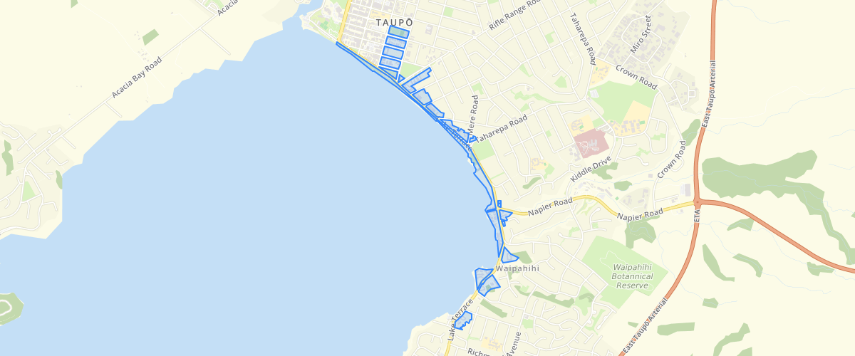
Request AccessThis layer displays environments identified in the Taupō District Plan. Environments are areas identified as having a certain type of development and a particular character and amenity, distinguishing it from other identified environments. Examples of environments within the Taupō district include Residential, Rural, Industrial and Town Centre. Taupō District Council does not make any representation or give any warranty as to the accuracy or exhaustiveness of the District Plan data released for public download. The data provided is indicative only and does not purport to be a complete database of all information in Taupō District Council's possession or control. Taupō District Council shall not be liable for any loss, damage, cost or expense (whether direct or indirect) arising from reliance upon or use of any data provided, or Council's failure to provide this data. While you are free to crop, export and repurpose the data, we ask that you attribute the Taupō District Council and clearly state that your work is a derivative and not the authoritative data source. Please include this statement when distributing any work derived from this data: This work is a derivative of the Taupō District Plan. You can view the full Taupō District E-Plan here: https://taupo.isoplan.co.nz/eplan/
Metadata
| Date | 3/9/2020 |
| License | CC BY 4.0 |
Sample Properties
- {} 10 keys▶
- ""
- ""
- ""
- ""
- ""
- "{A6F45D07-FECC-4D11-A4A6-DE90CC46EDAF}"
- 1
- 18422.3505859375
- 695.0730171290196
- "High Density Residential"