
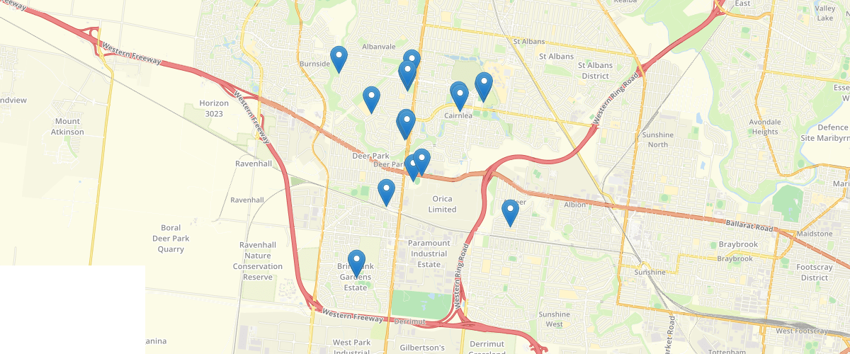
Australia - Brimbank Disabled Carparks
Request AccessAustralia - This layer contains point features for individual and Facility disabled car parking bays within Brimbank and contains information regarding location, parking restrictions, number of spaces etc. The blue symbols represent the car park bays without parking restrictions, and the red symbols represent the car park bays with parking restrictions. While all due care has been taken to ensure the dataset is accurate and current, there may be errors or omissions in it. Brimbank City Council and its employees accept no responsibility for the completeness, accuracy or reliability of the data. Brimbank City Council and its employees also accept no responsibility for any loss, damage, claim, expense, cost or liability whatsoever (including in contract, tort including negligence, pursuant to statue and otherwise) arising in respect of or in connection with using or reliance upon the data in this dataset.
Metadata
| Date | 2019-03-12 |
| License | CC BY 2.5 AU |
Sample Properties
- {} 6 keys▶
- "Disabled Only"
- null
- "East of Lennon Parkway, inside 3C Lennon Parkway, closer to the intersec of Lennon Pkwy / Windsor Bvd (Disabled), Derrimut"
- "144.76328158069413"
- "-37.79066057449584"
- 1