
Southland - Ground Shaking Amplification Risk 2006 - 2012
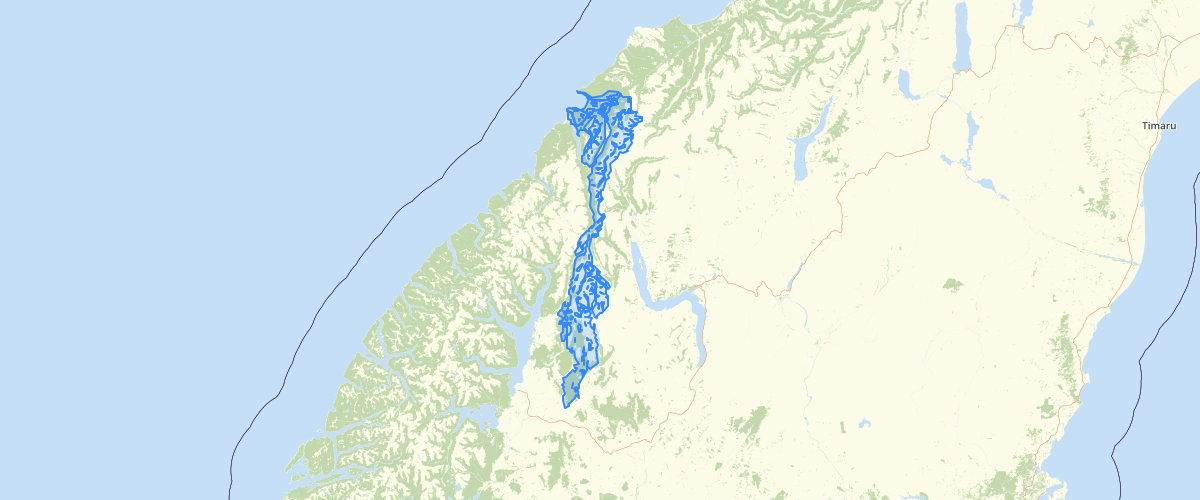
Request AccessSouthland - Ground Shaking Amplification Risk 2006 - 2012 - The amount of shaking felt in any given earthquake varies with the strength of the subsoil and underlying rock at the location. The soil and rock condition has been mapped as an indicator of the capacity for amplified shaking. Generally, floodplain soils have the potential to amplify shaking. As such, it is likely that in much of Southland the severity of shaking (and potential damage) will be greater than what is predicted or modelled for various earthquake scenarios. Reports: Amplified ground shaking and liquefaction susceptibility, Invercargill City - January 2012 (PDF, 2.3MB) Geological hazards – Southland District Council Lifelines Study - July 2006 (PDF, 5.8MB) Note: The methodology that was used in these reports may not hold today after knowledge gained from the Christchurch earthquakes and how that may relate to underlying assumptions regarding Southland. This data was captured at a scale of 1:250,000 (boundaries are indicative).
Metadata
| Date | 01/05/2020 |
| License | CC BY 4.0 |
Sample Properties
- {} 3 keys▶
- 1
- "Weak Rock"
- "Little or no increase in shaking during a strong distant earthquake and a slight increase in shaking during a strong nearby earthquake."