
BoP Mangrove Extents
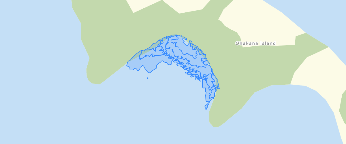
Request AccessMapping of Mangrove extent and densities within the Tauranga and Ohiwa harbours using aerial photos from 1943 to 2011 - Data has been mapped from aerial photography. Whole of Ohiwa Harbour captured for 2007 All Tauranga Harbour and Ohiwa Harbour captured for 2003 All Tauranga Harbour captured for 1943 and 2003. All other years are just pockets.NOTE: 2007 - some areas of the Tauranga Harbour without information in the Cover attribute field may not be correct.
Metadata
| Provider | Bay of Plenty Regional Council Toi Moana |
Sample Properties
- {} 13 keys▶
- "Ohiwa"
- 402.57340830712707
- 2567.705096359152
- "2007 Aerial Photography"
- "2008-11-13T00:00:00.000Z"
- "Estuarine"
- "100"
- "Mangrove"
- "Shrubland"
- 2007
- ""
- "Ohiwa"
- 1